Mullach nan Coirean, Stob Bàn + Sgùrr a’ Mhàim (18.6 km, 1731 m)
Am Bodach, Stob Coire a’ Chàirn, An Gearanach + Na Gruagaichean (10.7 km, 1018 m)
Coire an Lochain – Glen Nevis – Corrour (21.5 km, 359 m)
Day 1, Monday 23 September 2013
18.6 km/1731 m/10:00 hrs
Munros (2nd round): Mullach nan Coirean, Stob Bàn + Sgùrr a’ Mhàim (Nos. 14 – 16)
Munro Tops: Mullach nan Coirean SE Top + Stob Choire a’ Mhail (Nos. 14 + 15)
Ever since I had read an article in TGO Magazine about a backpacking version of Tranter’s Round, I had been waiting for an opportunity to try this route myself (it could well be that the original article had been about Ramsay’s Round, but I had quickly settled for the shorter version anyway). I was planning to do it leisurely in six days, and all I needed was a good weather window of that length!
I had booked a week off from work, and had postponed this holiday once already because of the dreadful weather forecast. On the other hand, I didn’t want to leave it too late as I was worried about the first snow, and I also needed the longer daylight hours before the clocks would go back at the end of October. When the forecast looked good at least for the next couple of days, I decided to give it a go. Unfortunately, things didn’t quite go to plan…
It started off well, I drove to Fort William early in the morning and parked in the layby near the Youth Hostel in Glen Nevis. After my experience on the TGO Challenge this year, when Dunja and I got lost in a jumble of fallen trees, this time I made the detour around the Glen Nevis Restaurant to join the forest track that runs parallel to the road. It was very hot already and I soon stopped to take off my jacket.
Meall an t-Suidhe across the glen.
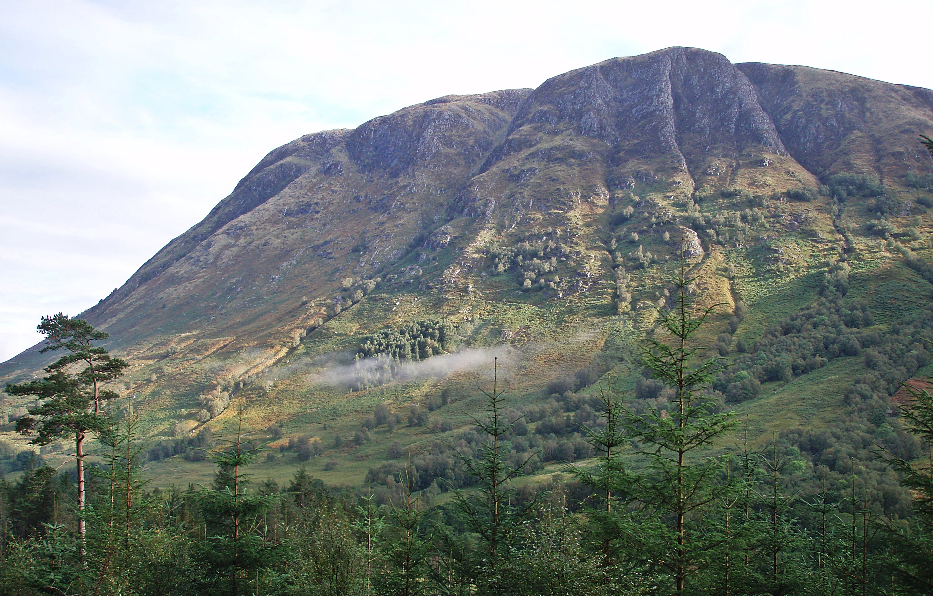
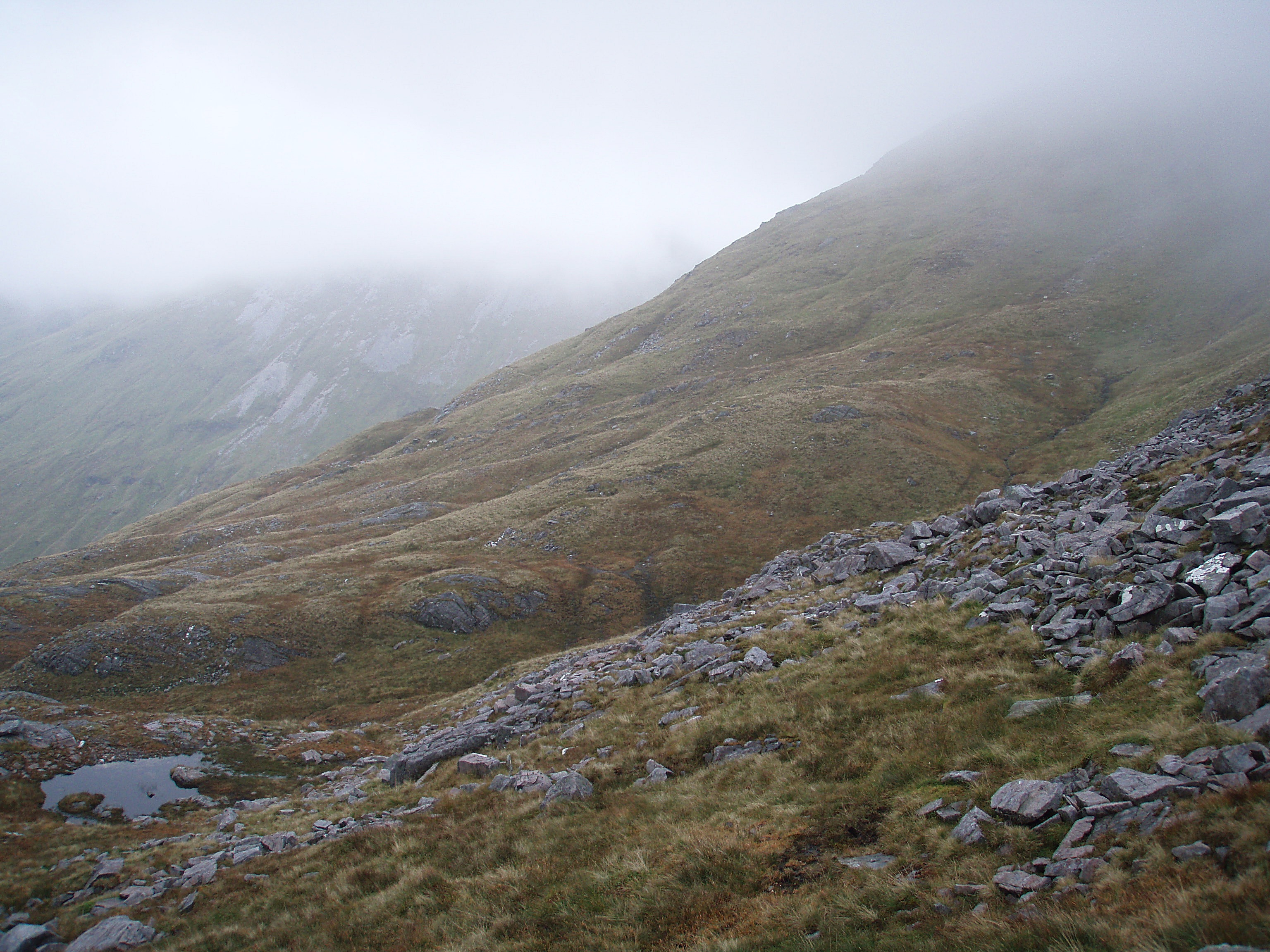
At the hairpin bend above Achriabhach I noticed a small cairn at the start of a well-made path that seems to lead up into Coire Dearg, and I was wondering if this might be a new shortcut to Mullach nan Coirean’s NE ridge. Keen to avoid the boggy ascent via Sròn Riabhach, I followed this path high above the Allt a’ Choire Dheirg, until it ended abruptly at a totally overgrown dead end.
There was no other option than to retrace my steps to the forest track, and to use the normal route up through a deforested area, over a stile and up the boggy hillside beside a fence. Higher up on the ridge it was much colder, the wind picked up and it started to drizzle.
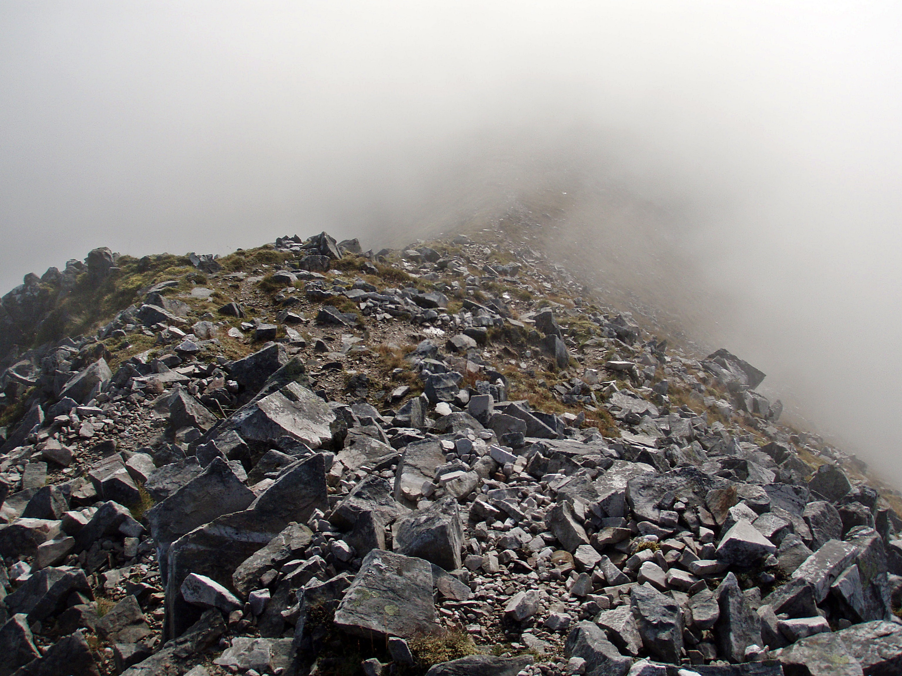
During the ascent of the last, stony section before the summit, I resigned to the fact that I would not see any views, which was quite disappointing, especially after the promising start to the day.

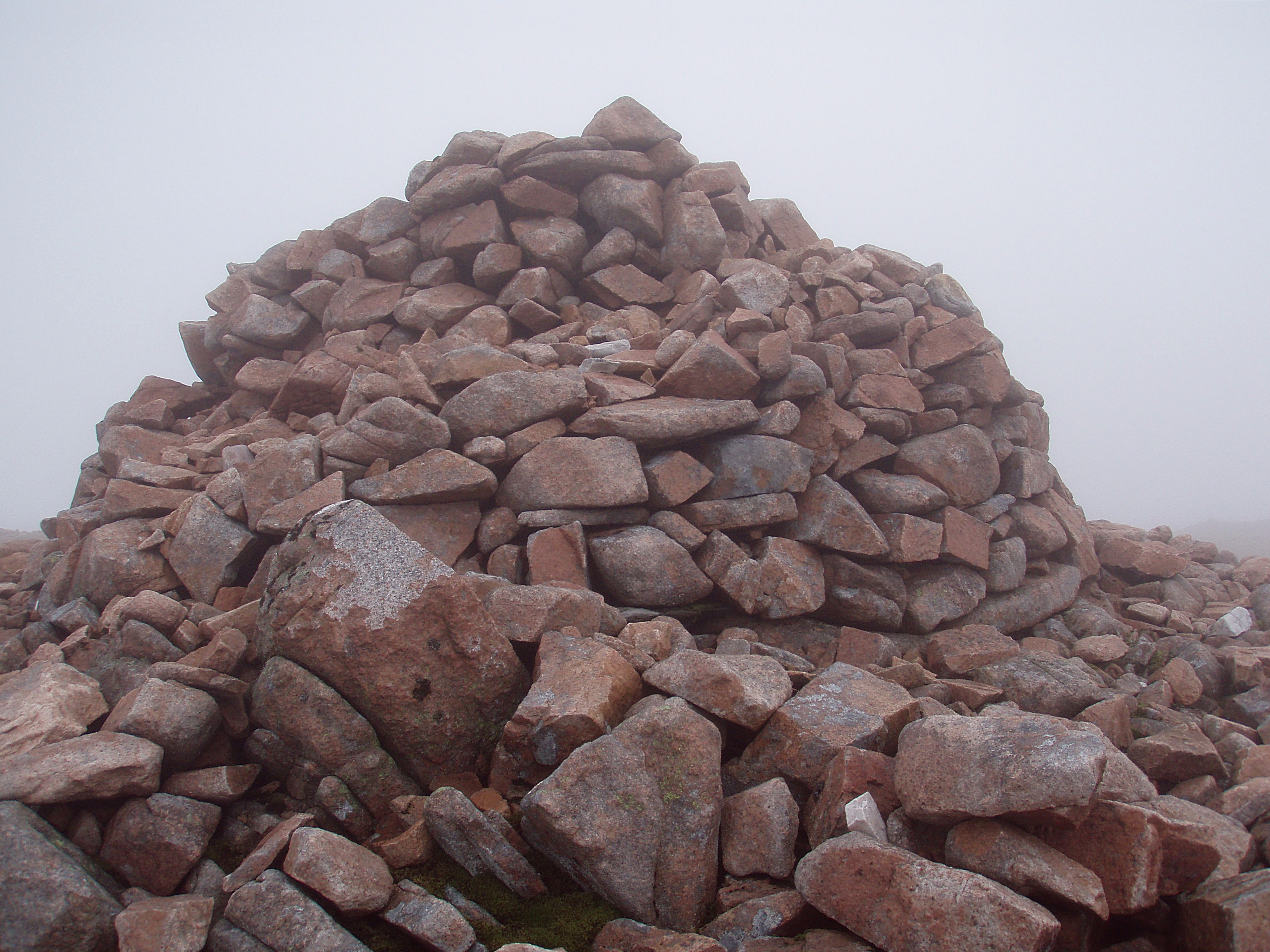
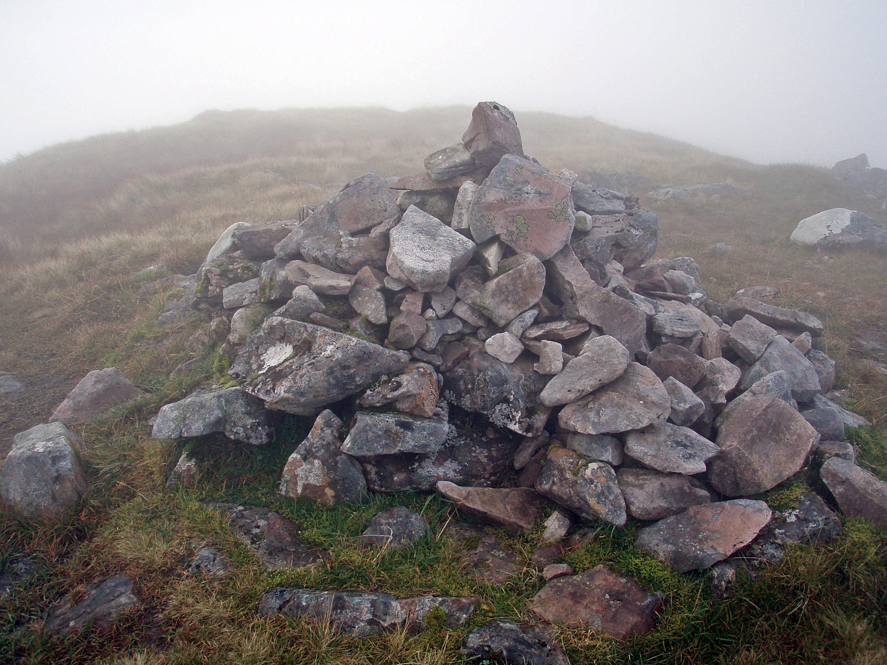
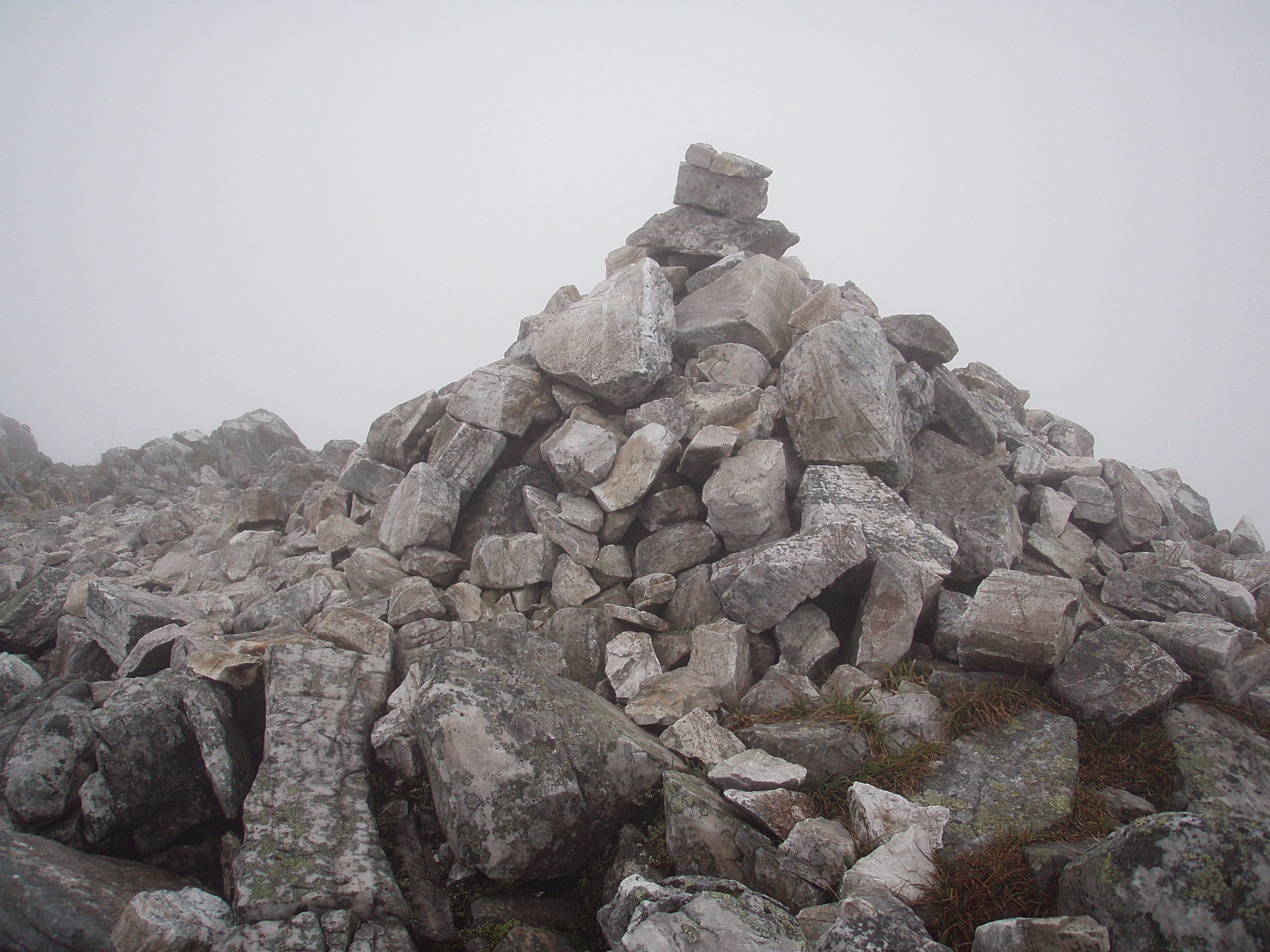
Mullach nan Coirean summit cairn.
Meanwhile the rain had stopped, but the clouds were still down when I started walking along the ridge towards Stob Bàn, passing Mullach nan Coirean’s SE Top on the way.
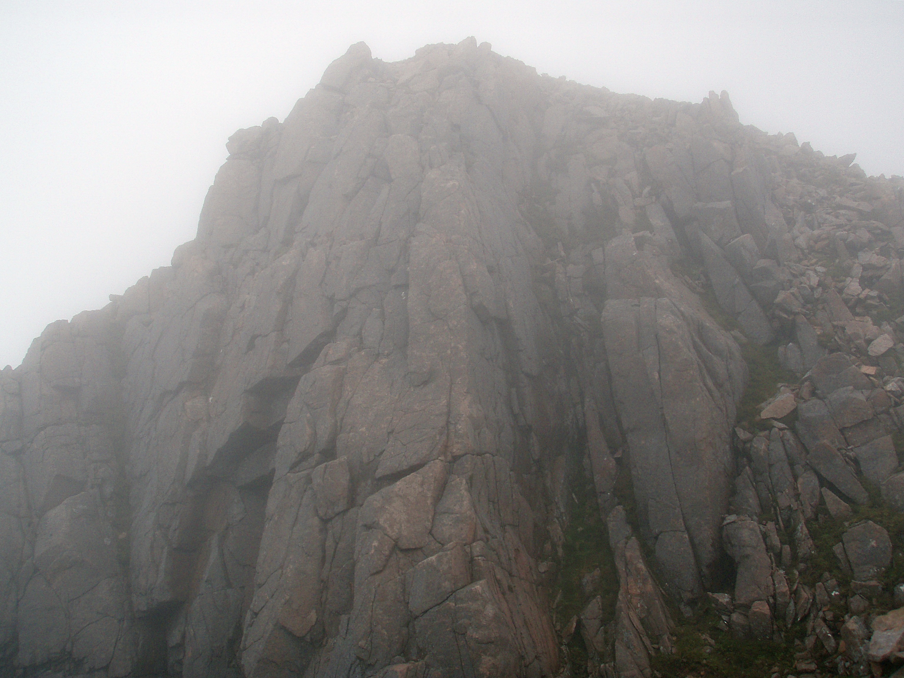
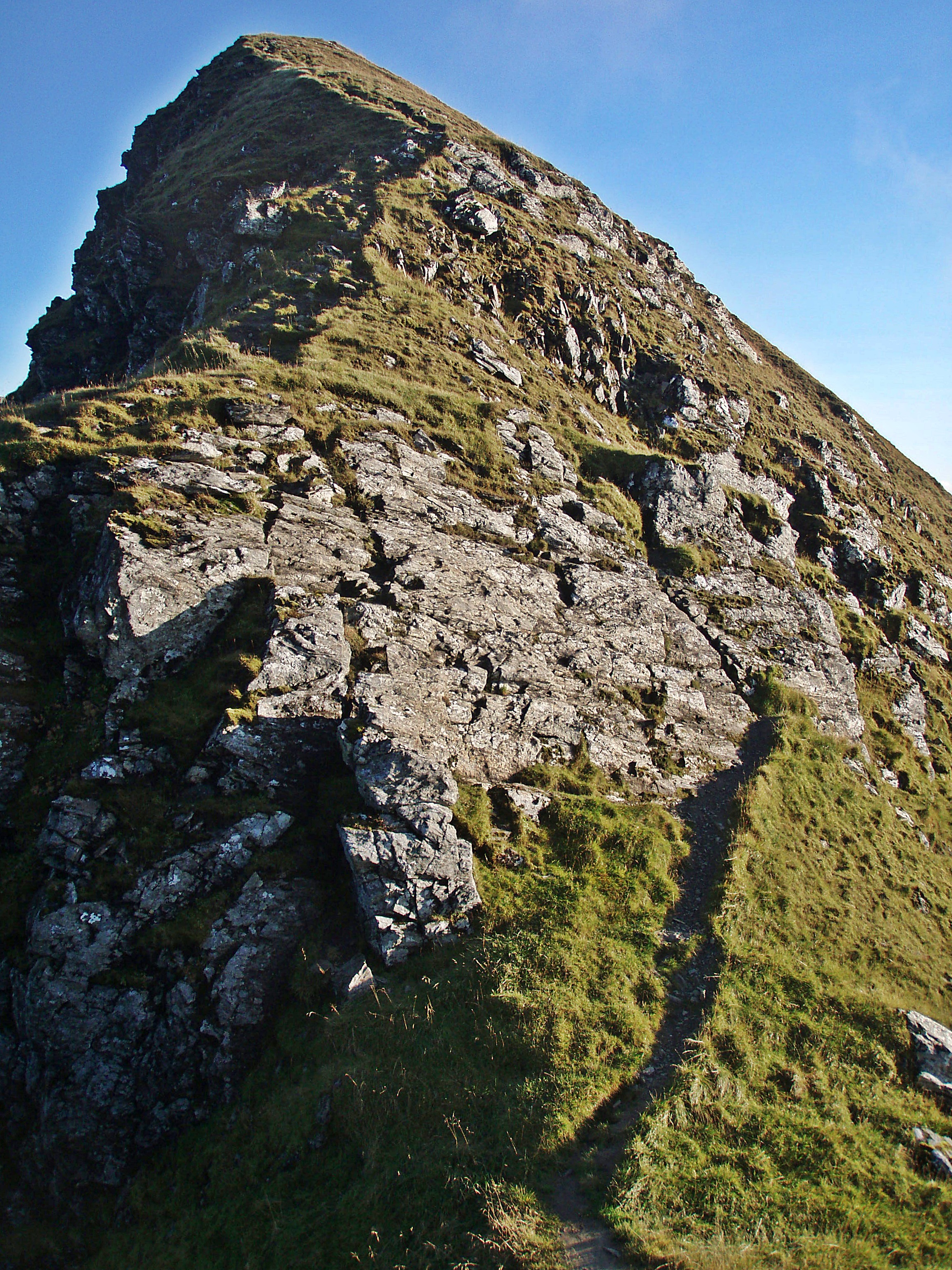
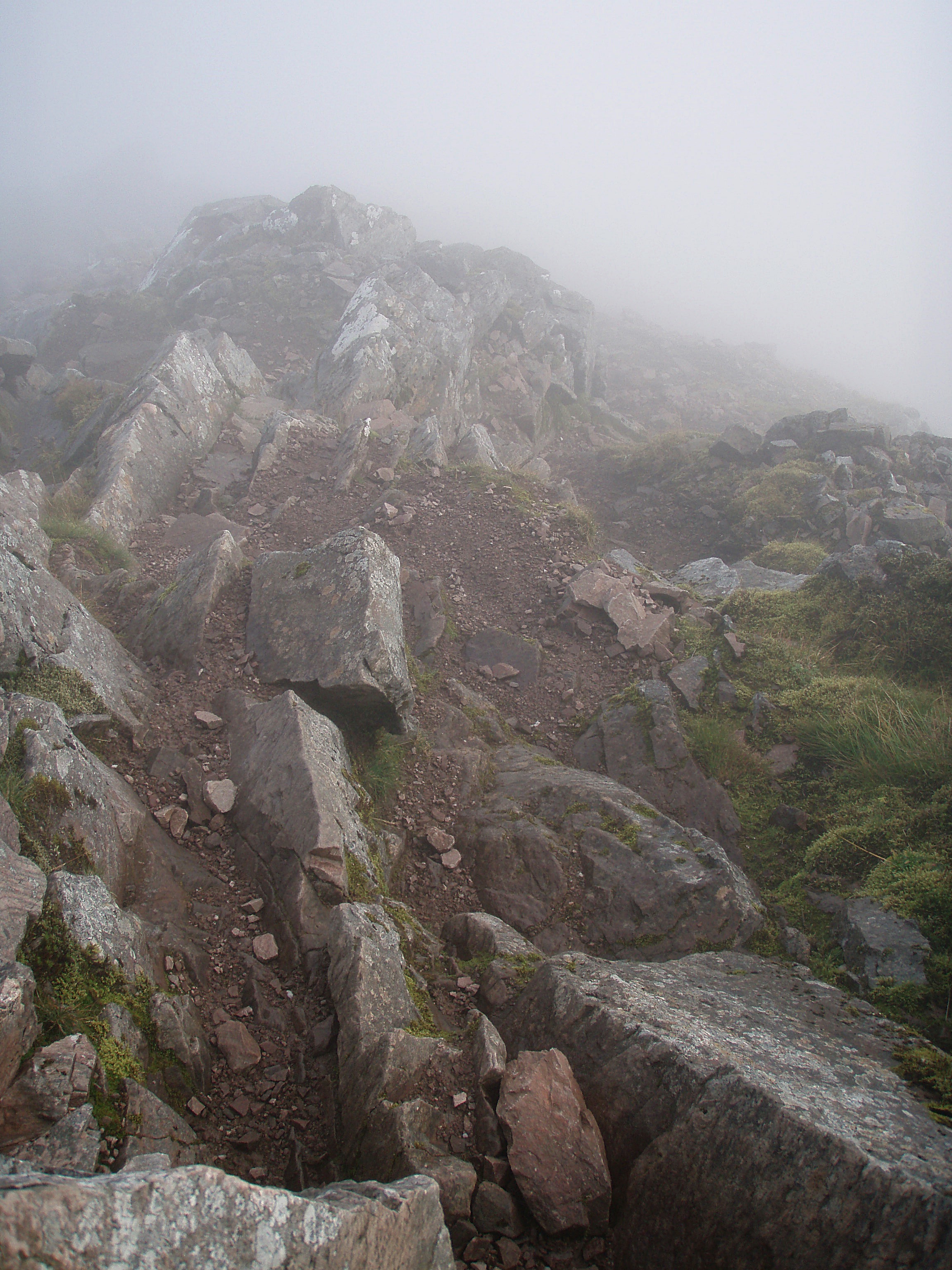
Crags above Coire Dearg.
View back along the ridge.

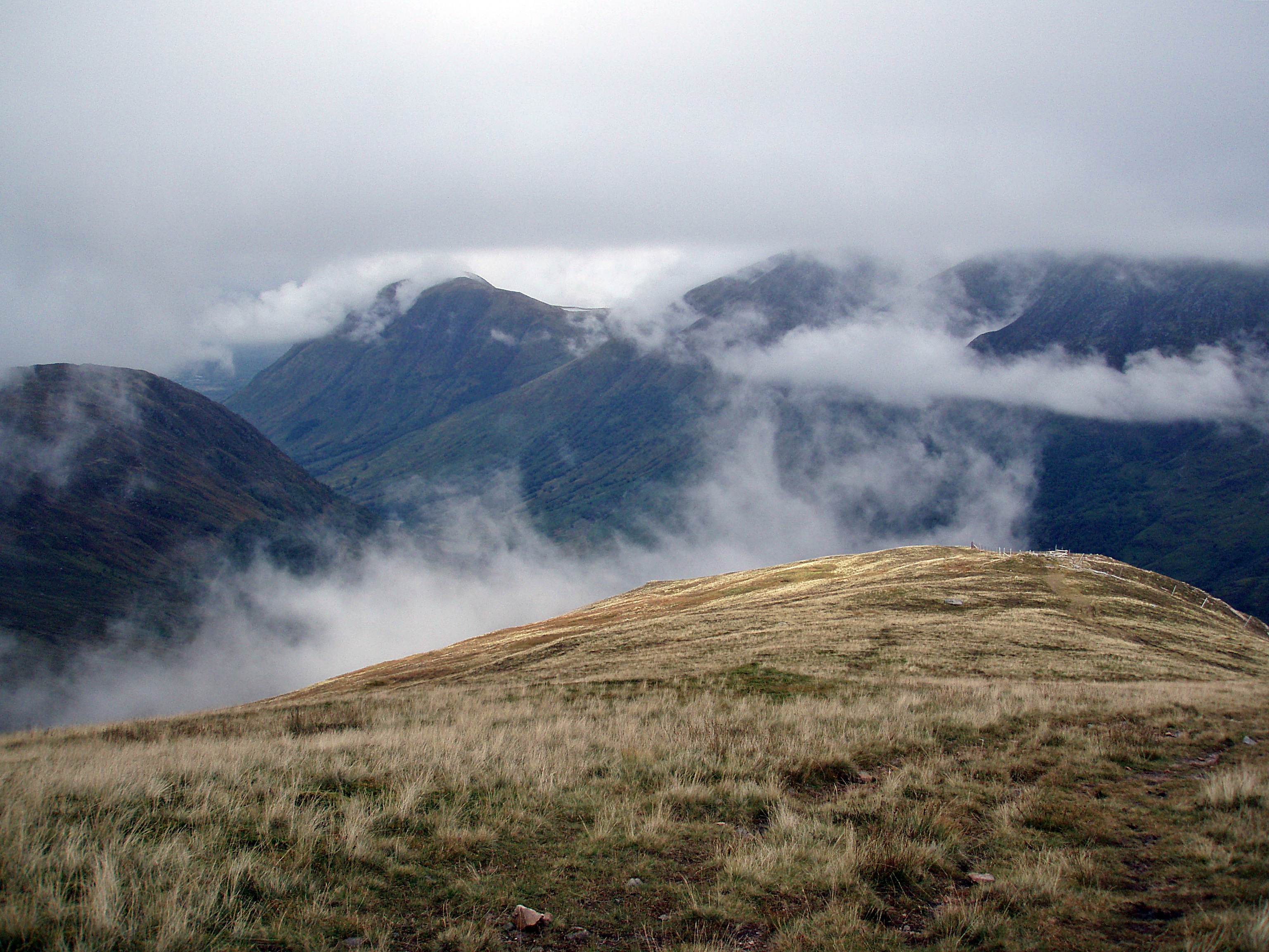
I couldn’t believe my luck when, on my approach to the cairns at the 910 m height, the clouds suddenly lifted! I could see the ridge ahead, but I was worried the clouds might descend again any moment, so I hurried towards the edge to look down into Coire an Lochain before it was too late.

Coire an Lochain.

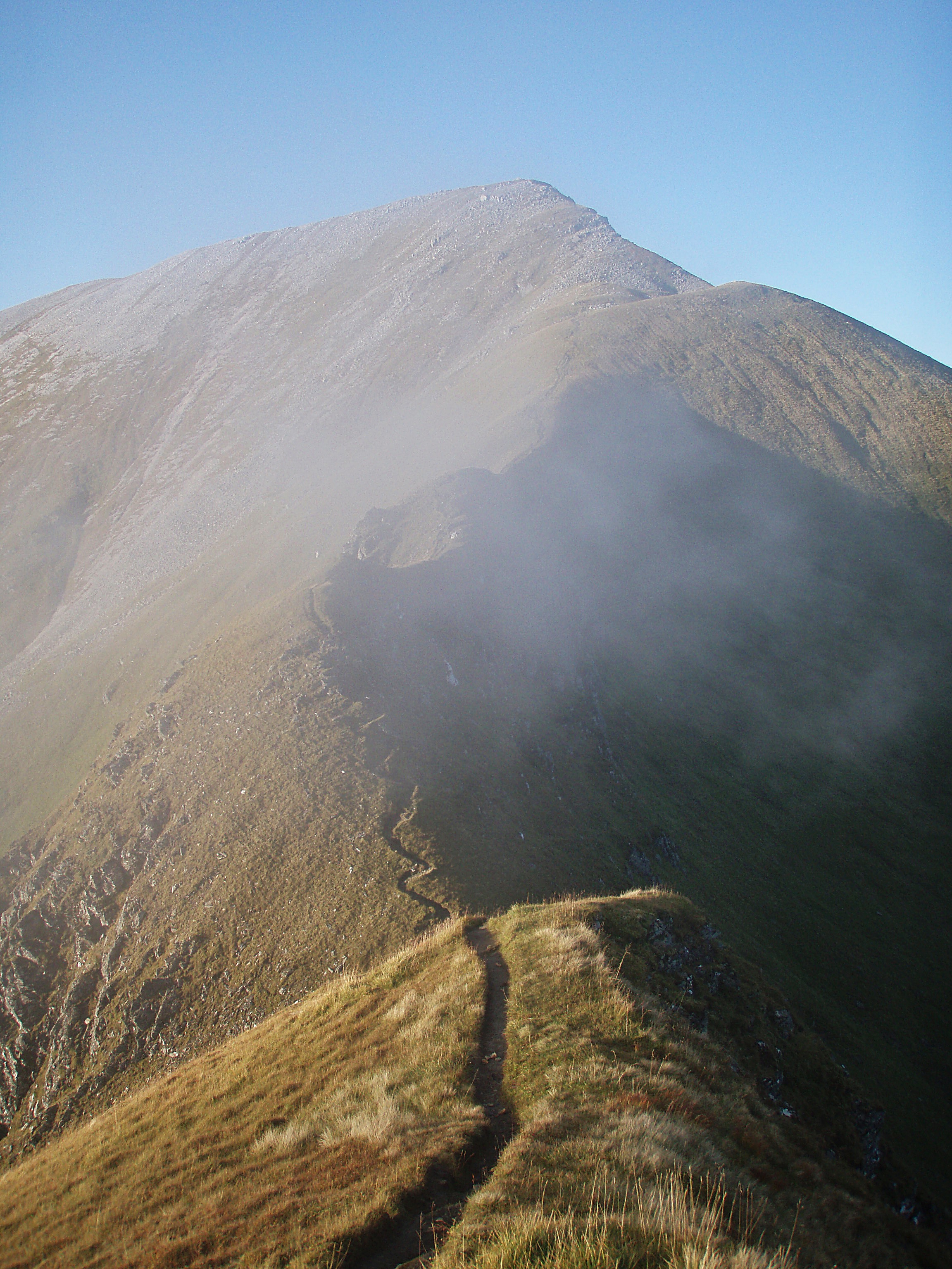
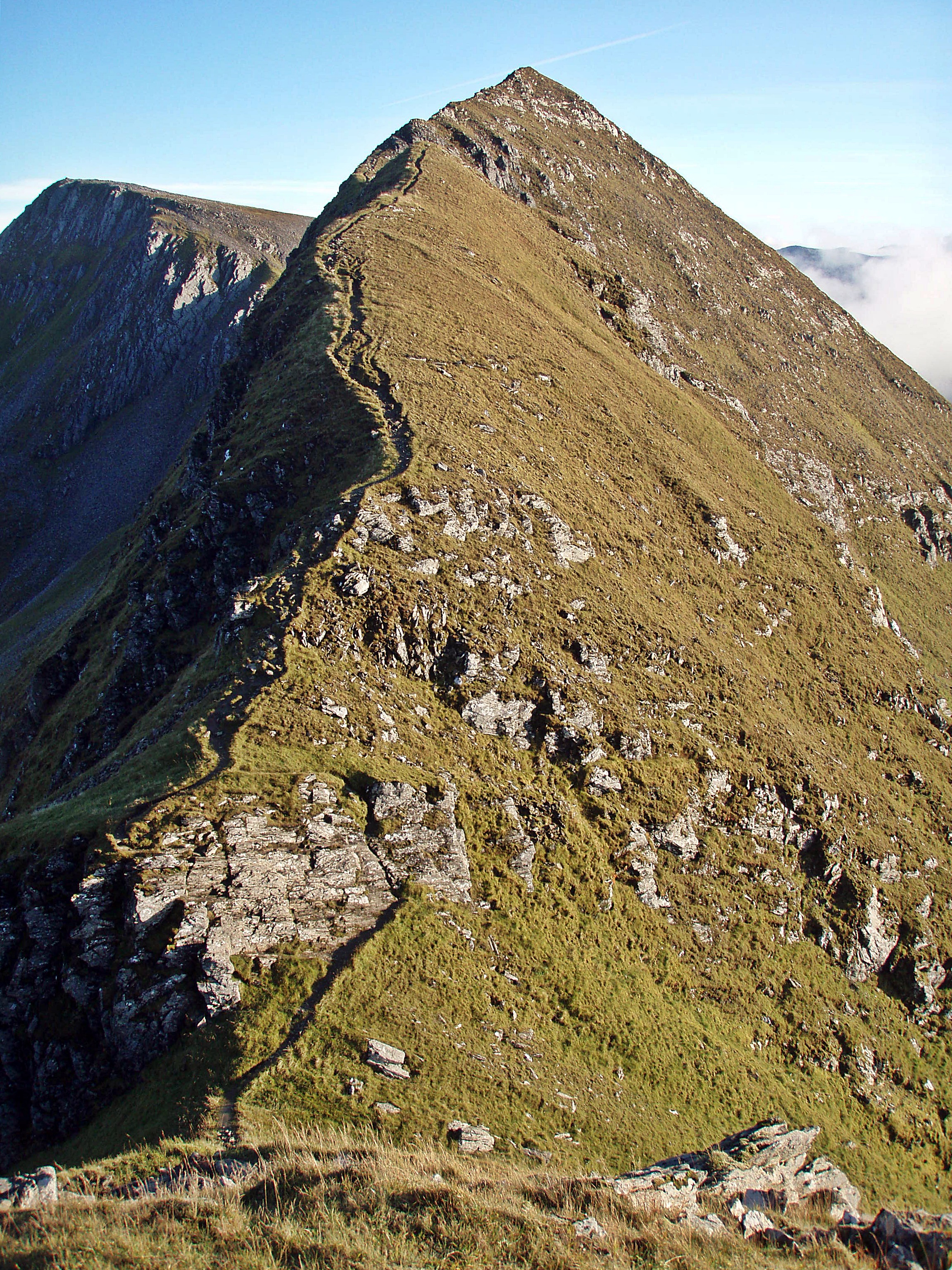
The ridge leading to Stob Bàn.

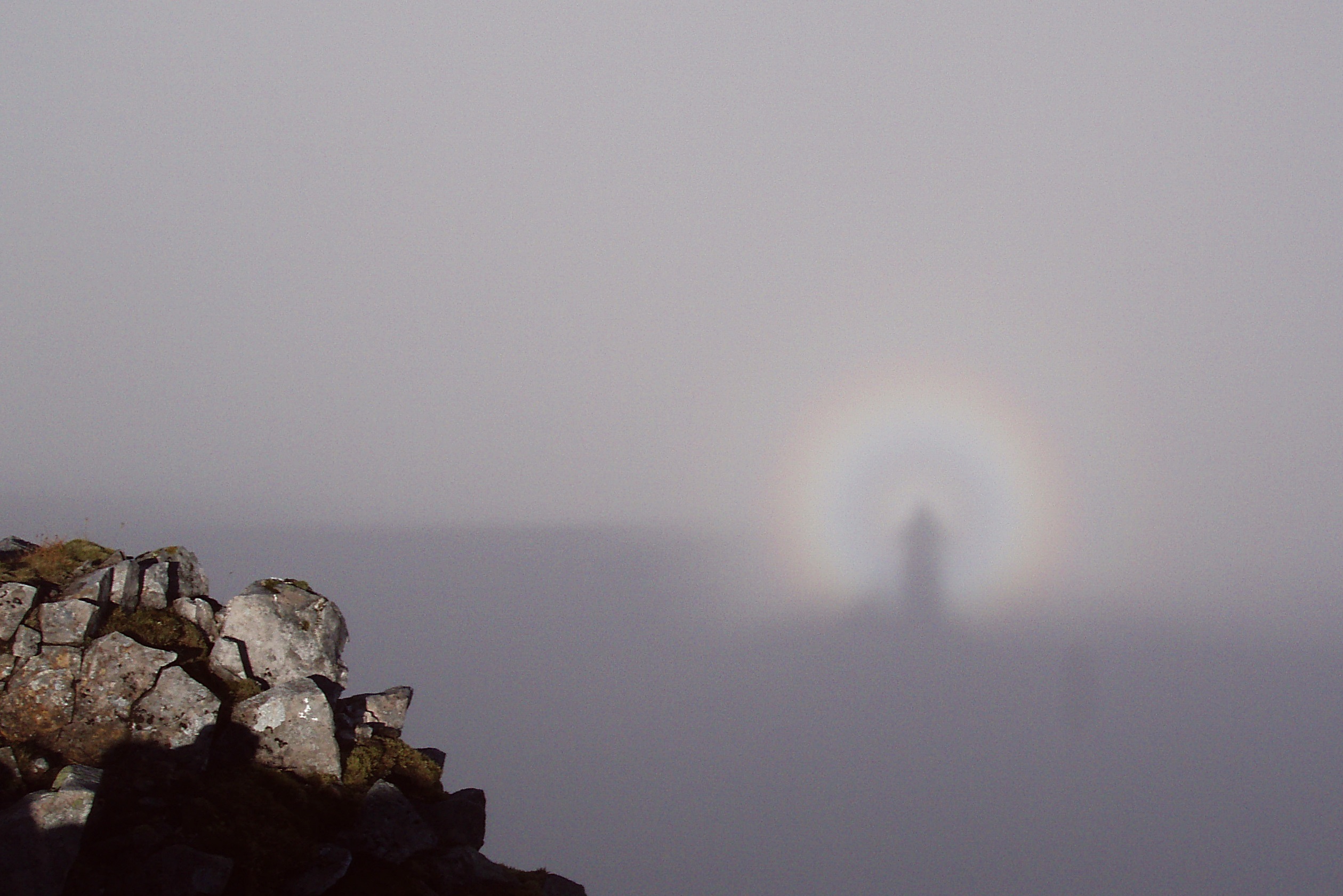
I even saw a Brocken spectre 🙂

The ridge ahead was now clear and it looked as if I would at least get some views from the second Munro of the day.

“The Ben”, sticking its head through the clouds.

Glen Nevis.

Coire an Lochain.

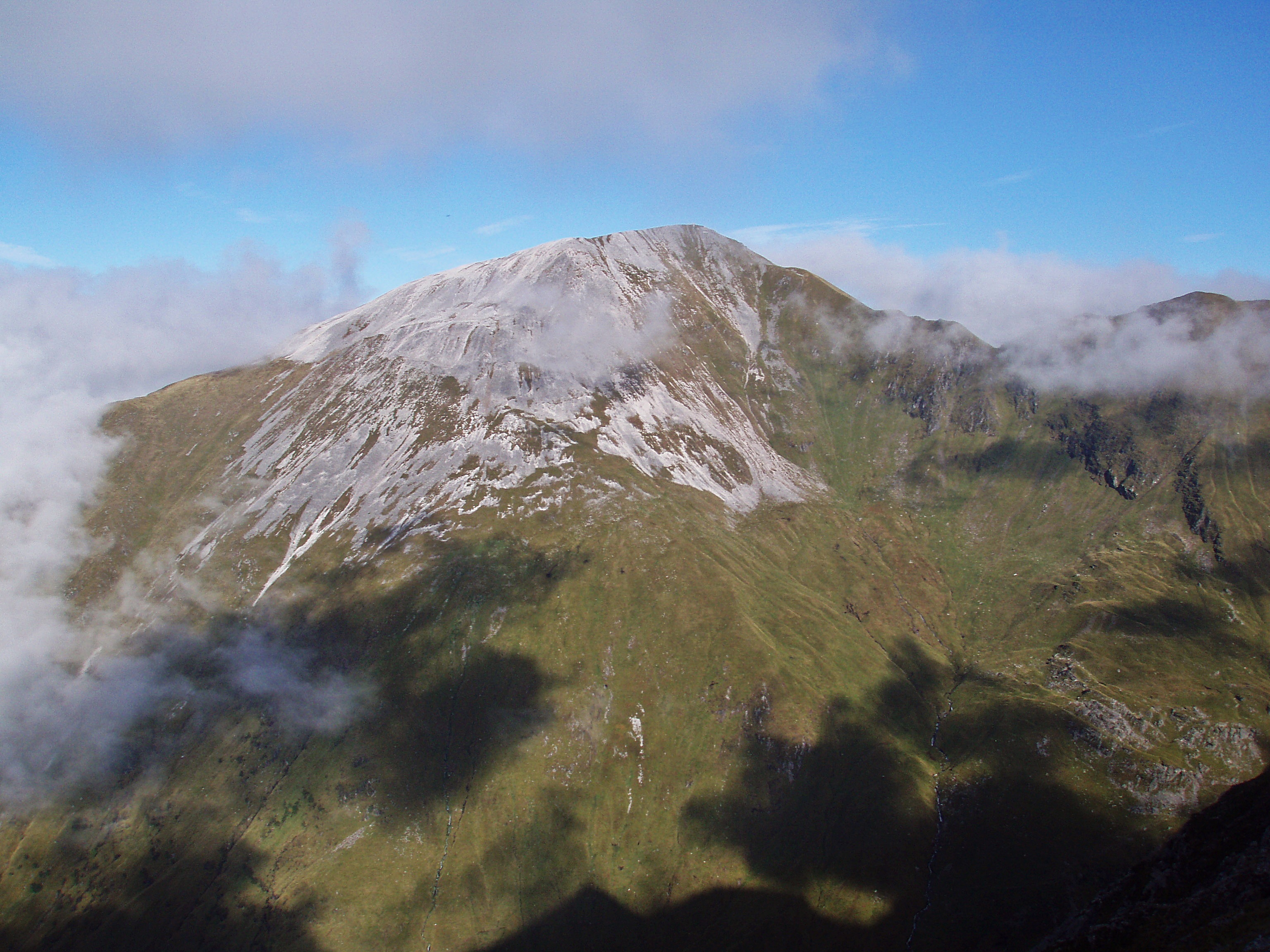
Stob Bàn.

Sgùrr a’ Mhàim.
Looking back, I could now even see Mullach nan Coirean – well, better late than never, I suppose!

Clouds swirling around Ben Nevis.

Approaching the summit of Stob Bàn.

Looking towards Sgùrr an Iubhair, with Coire nam Miseach – my planned camp site for the night – in the centre of the photo.
The Devil’s Ridge connecting Sgùrr a’ Mhàim and Stob Choire a’ Mhail.

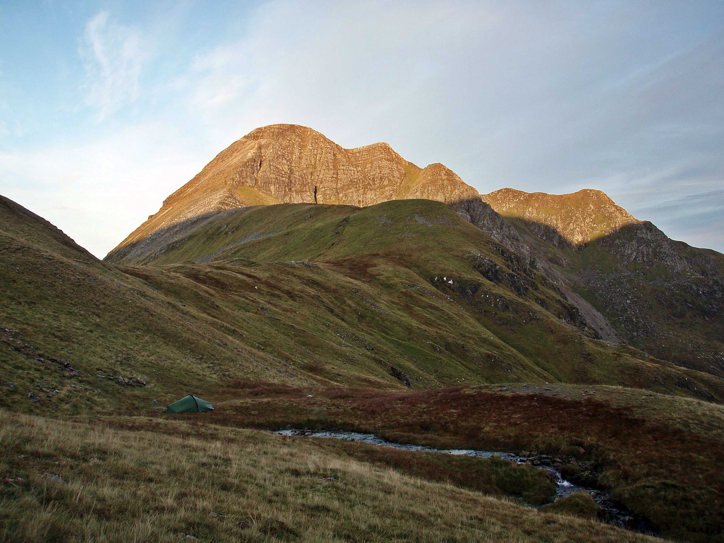
Stob Bàn summit, with Ben Nevis and Sgùrr a’ Mhàim as a backdrop.
lt was already 16:30 and I wanted to climb another Munro before it got dark, so I started the steep descent along Stob Bàn’s E ridge.

View S to Beinn na Caillich and the West Highland Way.

Lairig Mor and WHW.

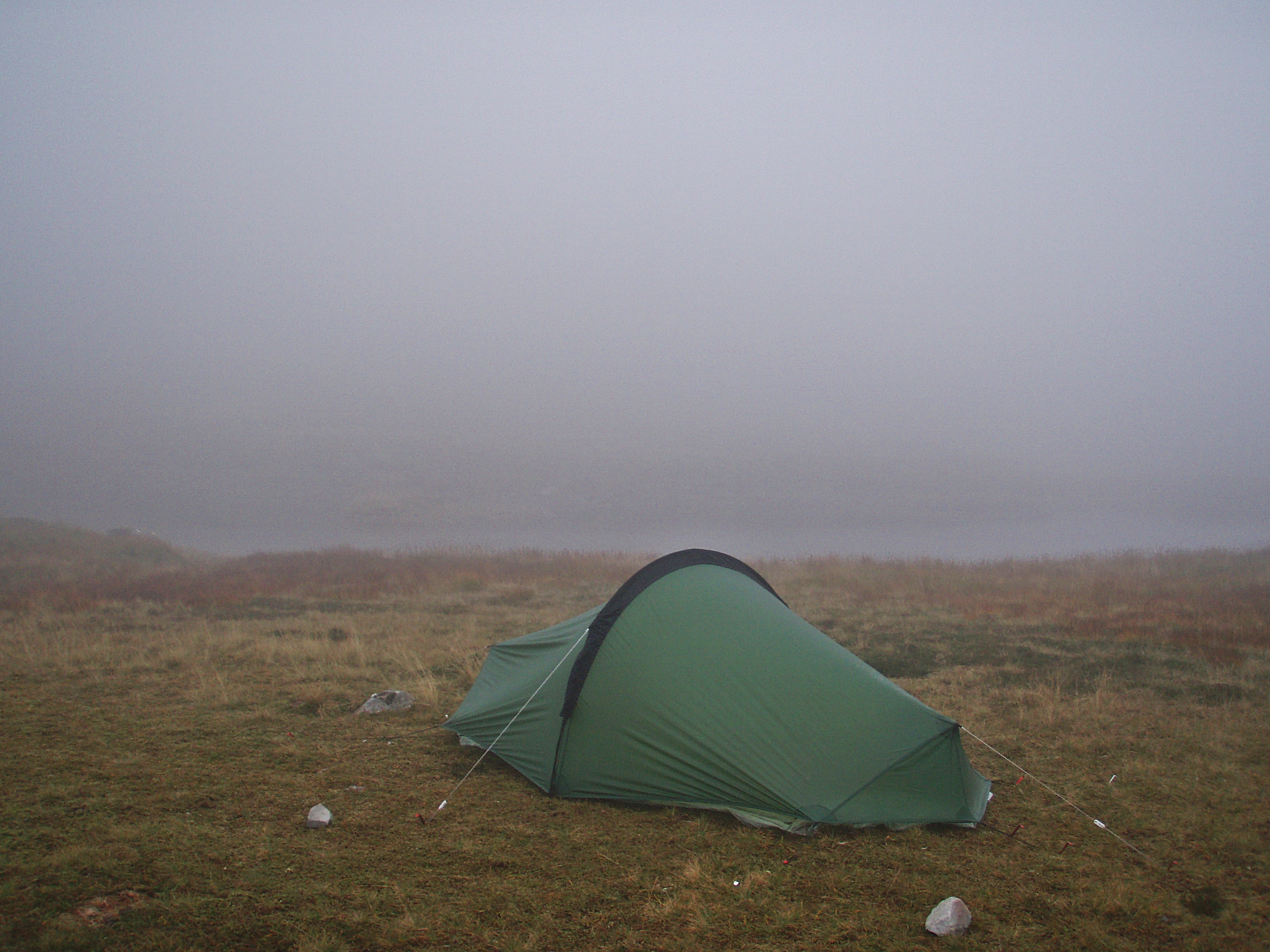
When I reached Lochan Coire nam Mìseach, it didn’t take me long to find a good camp site.

During my last visit here in October 2012, I had already had a good look around and the only suitable terrain seemed to be below the outflow of the loch. I left my rucksack at my planned camp site, filled my water bottle and climbed up the zigzag path above Coire nam Miseach.
I didn’t mind putting up my tent later in the light of my head torch, but I wanted to make sure that I’d be across the Devil’s Ridge and back before it got dark.
In the meantime, a thick layer of cloud had accumulated in Coire a’ Mhusgain.

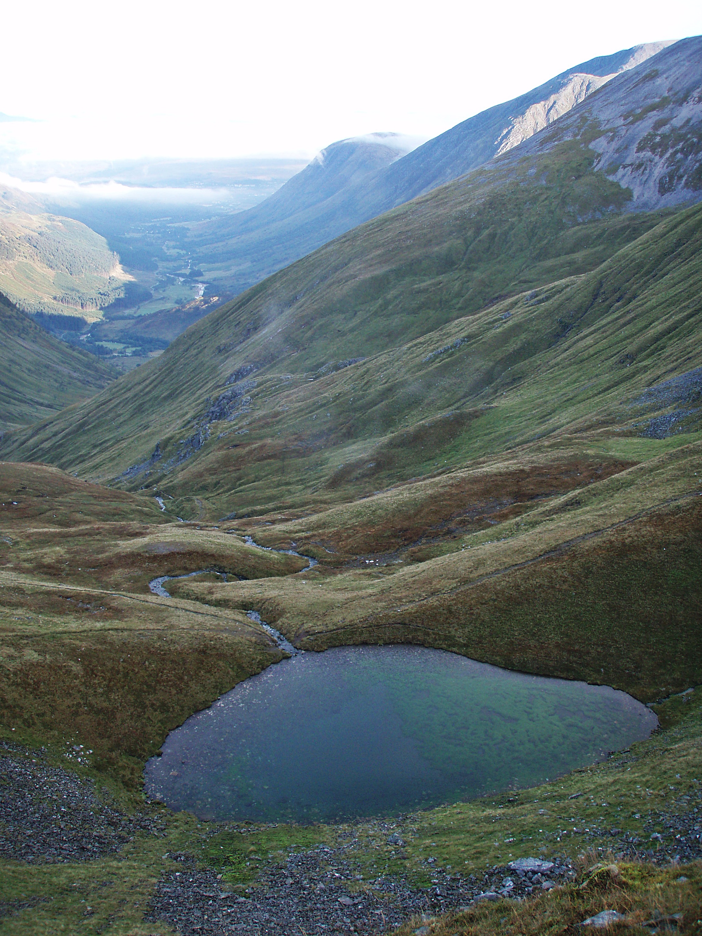
View down to Lochan Coire nam Mìseach.

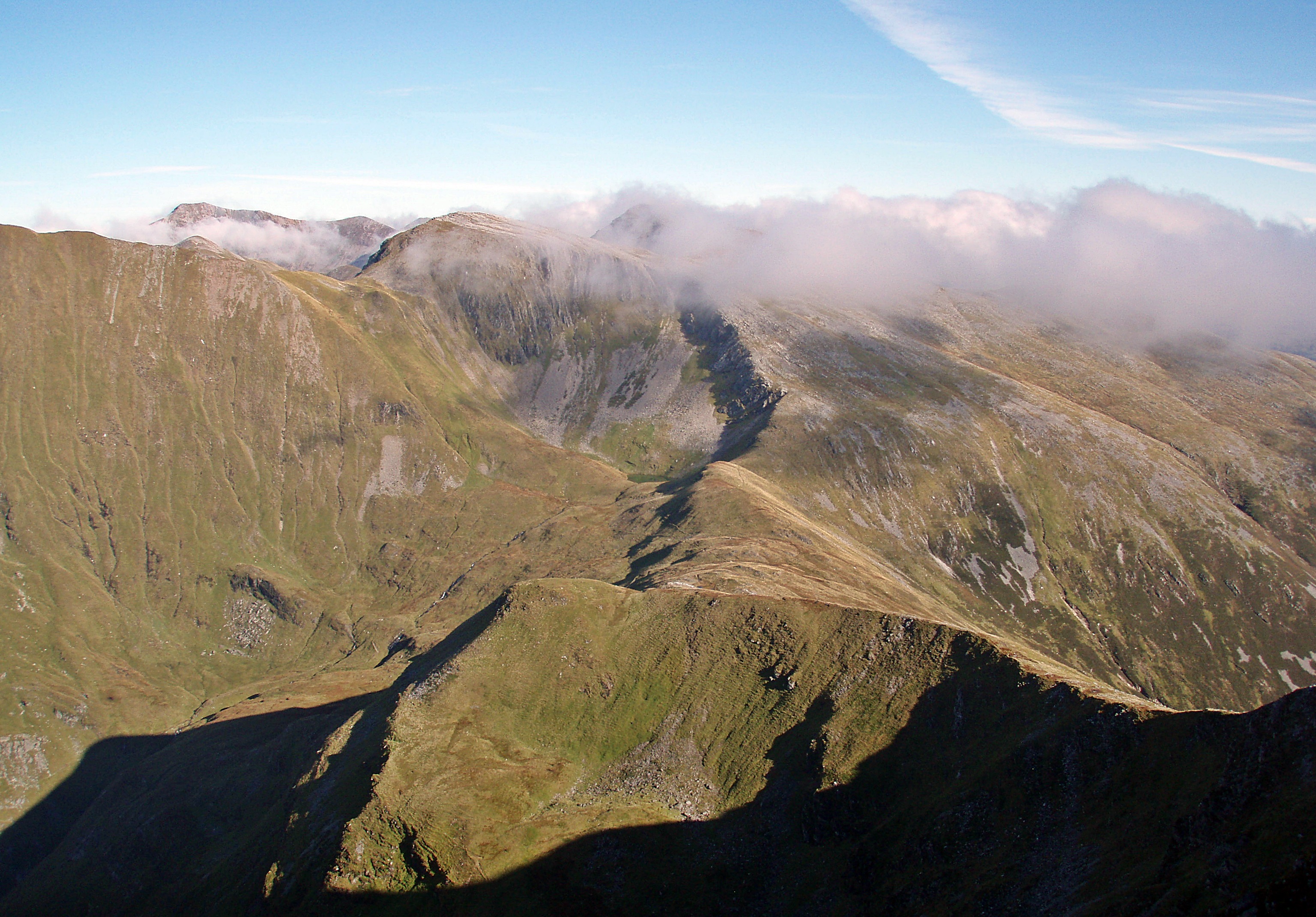
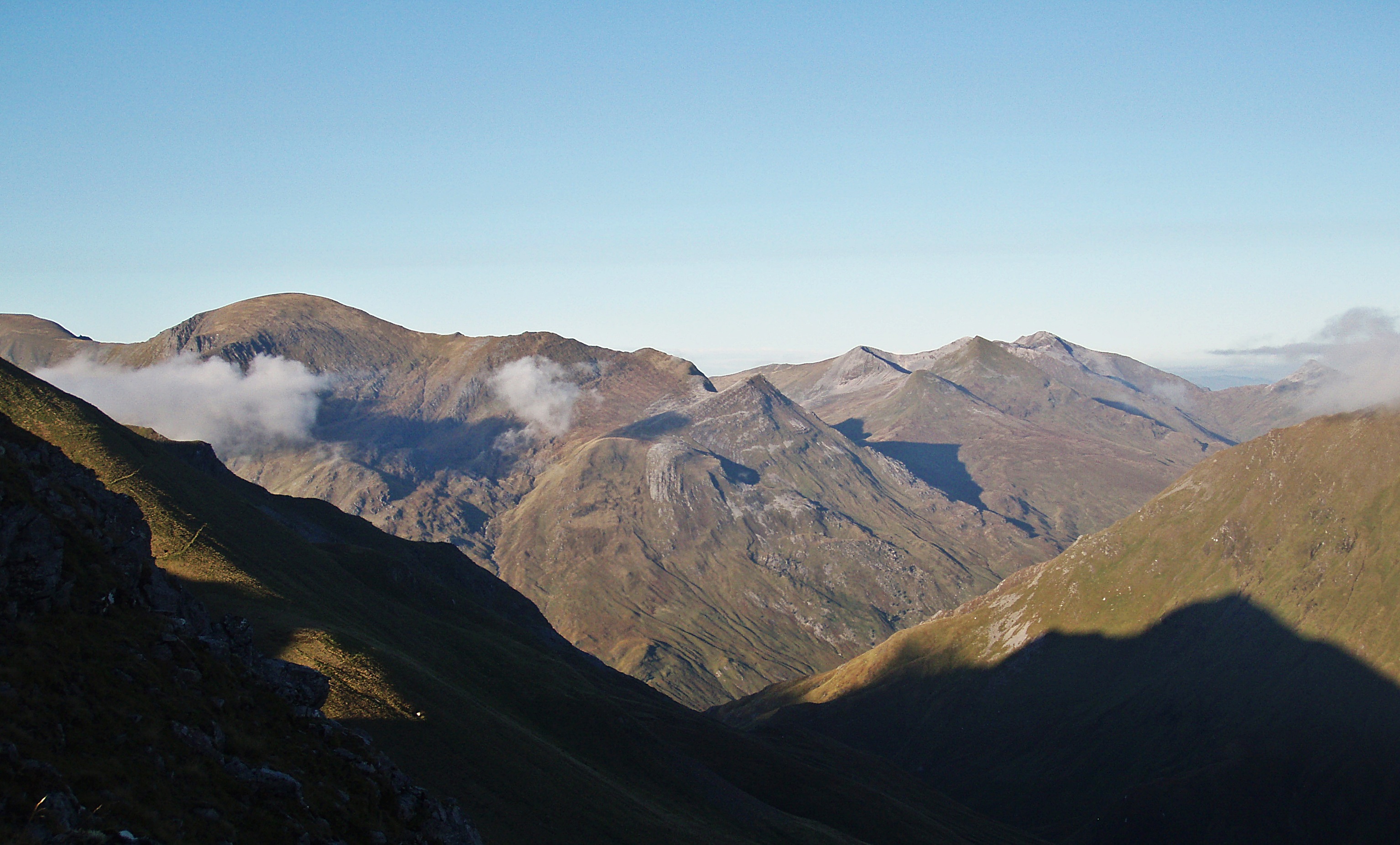
Tomorrow’s target, the continuation of the Mamores ridge.

Am Bodach and Sgùrr an Iubhair.
The Grey Corries.
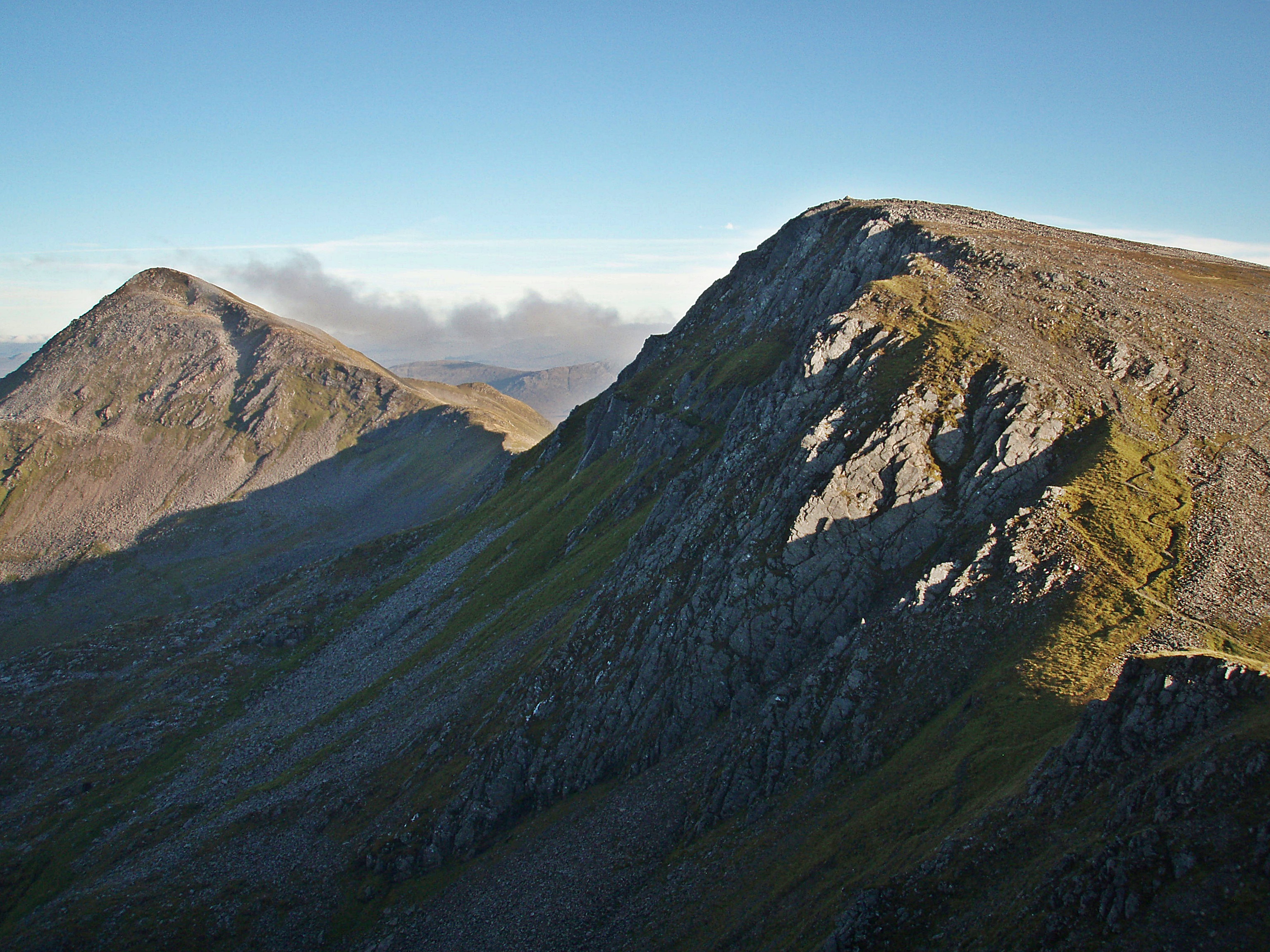
Approaching the first “hairy” bit along the ridge.

Considering the time of day and the fact that I was on my own, I decided to play it safe and bypass the scrambling section on the left (west) side.

The ascent to Sgùrr a’ Mhàim.
The Mamores.

The second scrambly section of the ridge that needs to be downclimbed – it’s straightforward, but I was glad I had left my big rucksack down by the lochan!
The same section from higher up the ridge.
Nearly there…

The Munro Top Stob Coire a’ Mhail in the centre.

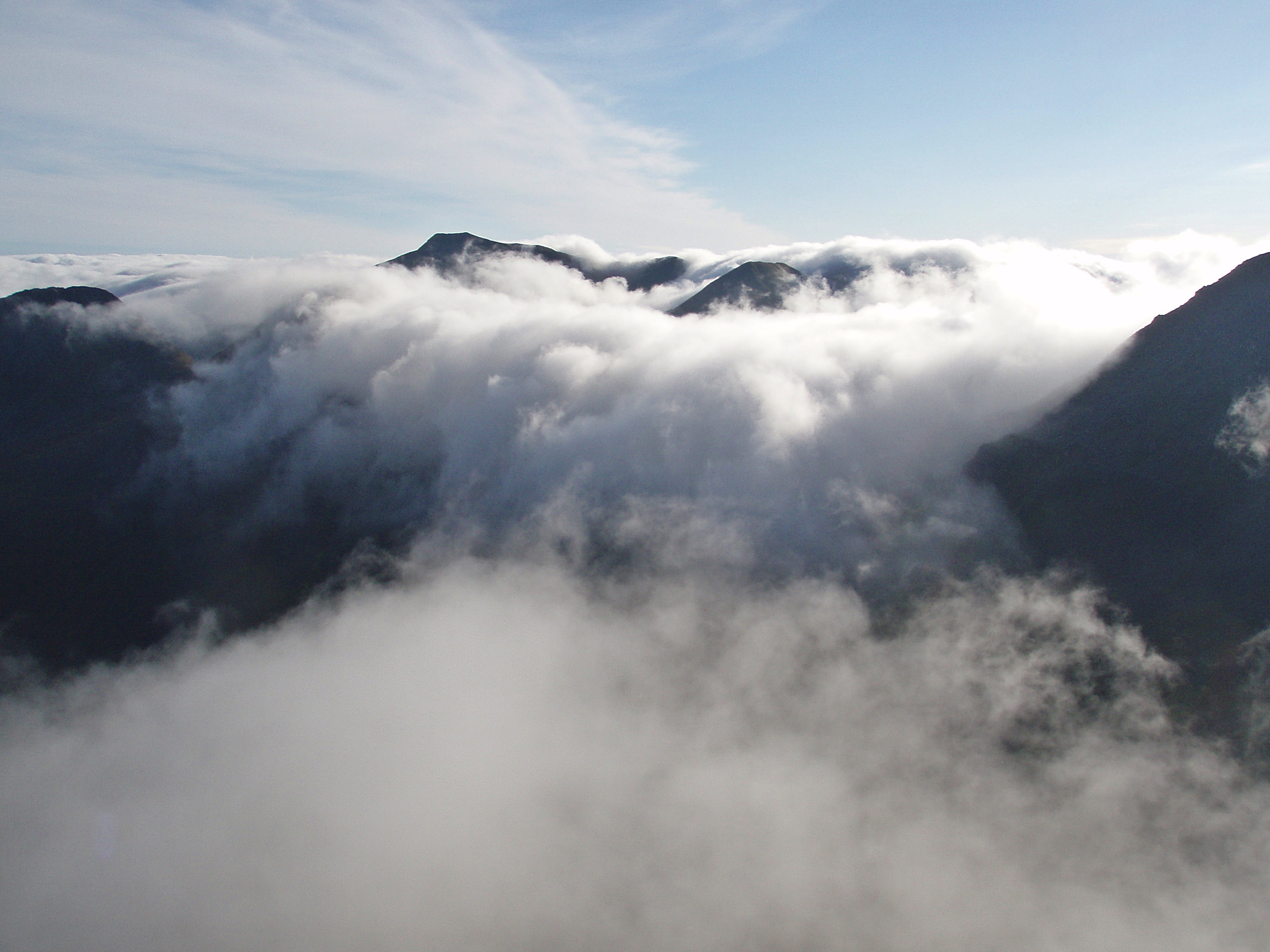
While I had concentrated on the ridge walk, the clouds had filled the bottom of Coire a’ Mhusgain and the glens beyond, creating a wonderful inversion 🙂

Ben Nevis above a sea of clouds floating in from the W.

Walking around the summit area, I was thinking how great it would be to camp up here on an evening like this, but then I would have had to carry my rucksack plus a few litres of water up, and that didn’t seem tempting at all.

But I was somewhat overwhelmed by the fantastic cloud inversion to the west, and crystal clear views to the east, combined with the wonderful colours created by the low sun. This experience alone was worth the zero visibility on Mullach nan Coirean earlier in the day!
Reluctantly I made my way back down the ridge.

Looking down after re-ascending the first of the scrambling sections.

Approaching Stob Choire a’ Mhail.

The bypass on the W side of the ridge.

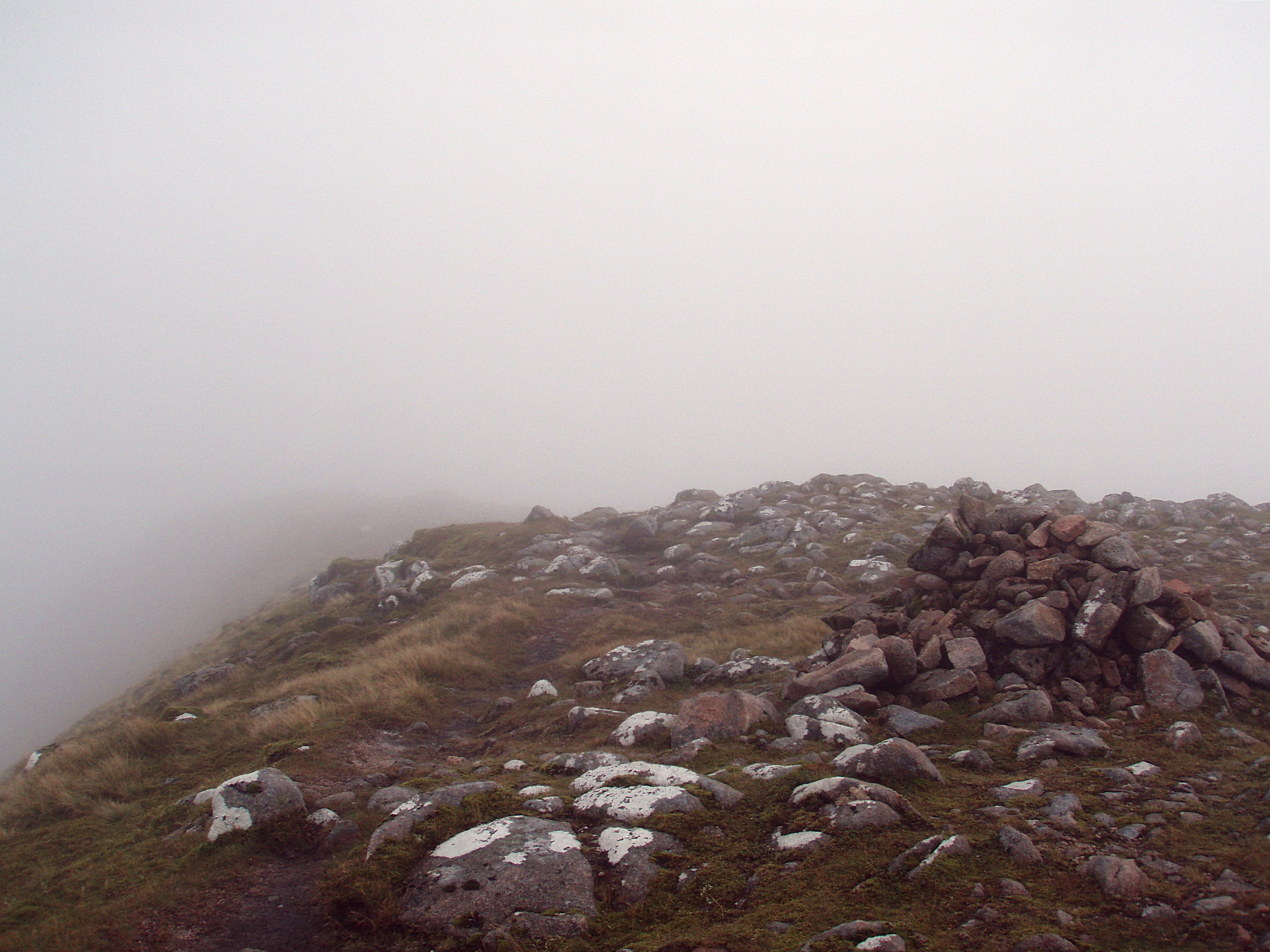
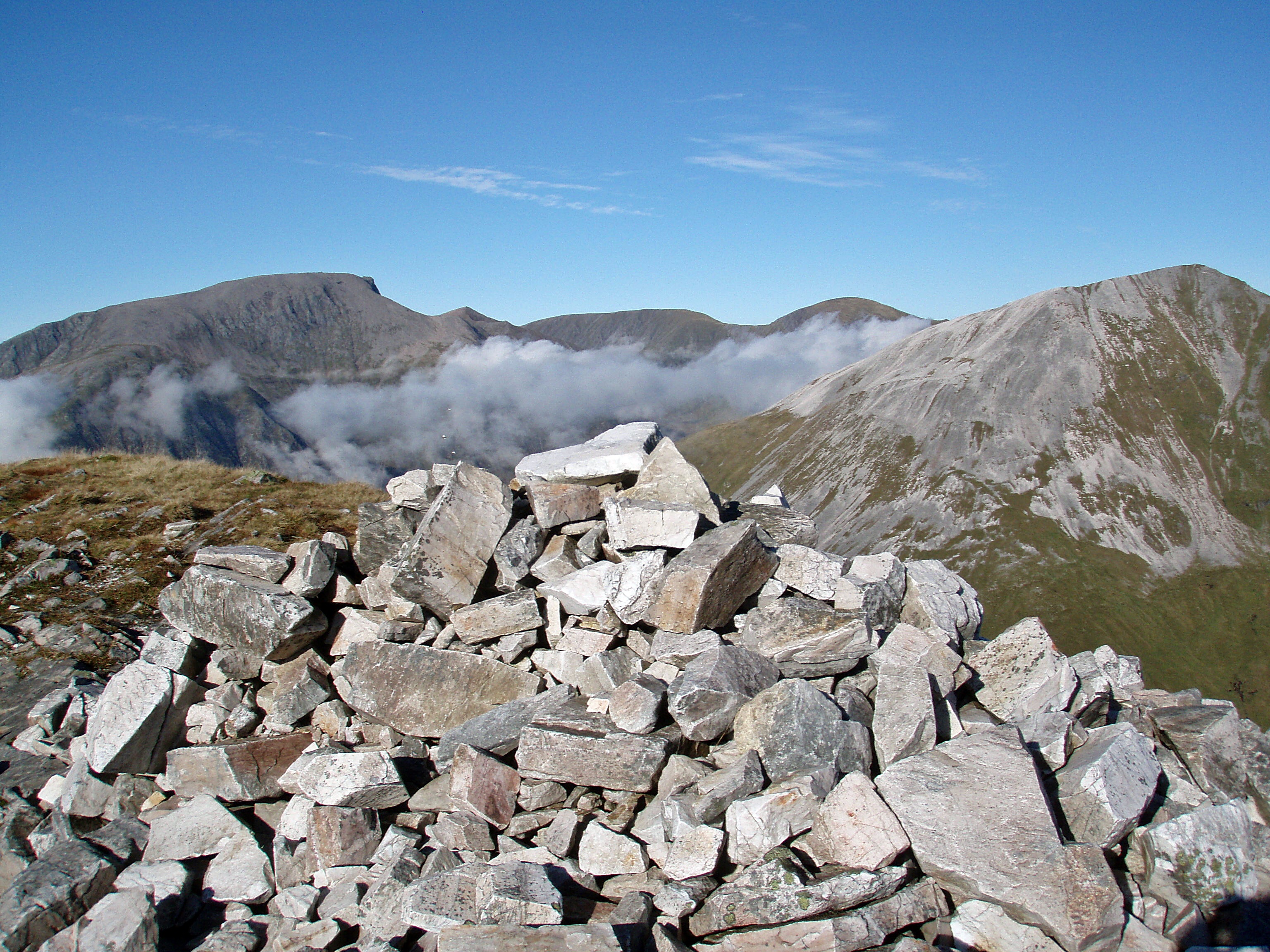
Stob Choire a’ Mhail “summit cairn” (!?)

View back to Sgùrr a’ Mhàim.

The path leading easily up to Sgùrr an Iubhair – in hindsight, I should have used this the next morning, but on the map it looked as if there was also a path leading around the S side of Coire nam Mìseach, which seemed to be a more direct route from the lochan (it isn’t!).

On my way back to Lochan Coire nam Mìseach, I enjoyed the last views across the cloud inversion before it got too dark.

Sunset over Stob Bàn.

Day 2, Tuesday 24 September 2013
10.7 km/1018 m/09:30 hrs
Munros (2nd round): Am Bodach, Stob Coire a’ Chàirn, An Gearanach + Na Gruagaichean (Nos. 17 – 20)
Munro Tops: Sgùrr an Iubhair, An Garbhanach, Na Gruagaichean NW Top + Binnein Mòr S Top (Nos. 16 – 19)
My camp site high above Coire a’ Mhusgain.

My tent was still in the shadow when the morning sun reached the summit of Stob Bàn, but it looked as if there was another nice day ahead.
I packed up my tent and climbed up to the path that contours around the S edge of Coire nam Mìseach.
Stob Bàn still in the sun, but a few clouds swirling around it already…

The path I was walking on seemed to lead towards Stob Coire na h-Eirghe, so I left it and headed straight up to Sgùrr an Iubhair. Unfortunately, this lead me onto a huge boulder field.

It was very slow going, but at least I got a good view of the steep crags above Coire nam Mìseach.

At 09:30 I reached the summit of Sgùrr an Iubhair, a former Munro that was demoted to a Munro Top in 1997.

While I was still enjoying the sun and the views from the summit, clouds came rolling towards me from the E like huge waves 😦
Cloud “fingers” gripping the Devil’s Ridge.

Within a couple of minutes, I was enclosed in the clouds, and on my way down Sgùrr an Iubhair’s narrow E ridge, I could only see a few metres ahead.
The only good thing about this was the appearance of some more Brocken spectres.
For a short moment, the clouds opened and it seemed as if there was another inversion developing, but the hills I was on were not high enough to be above the cloud level. This was the last time I got any views to speak of for the rest of the day 😦
Bidean nam Bian in the distance.

A few times on my way up Am Bodach’s W ridge, I drifted too far to the left onto steep terrain because I couldn’t see very far ahead, but each time I found an easier way further to the right (S), and eventually I arrived at a cairn that looked as if it was the summit.

As the terrain didn’t seem to drop on the other side of the cairn, I wasn’t sure if this was really the summit, so I walked a bit further, only to find another cairn.
The first one had seemed more substantial, so I returned to it and tried to find the way down towards Stob Coire a’ Chàirn. I had done this section for the first time as part of the Ring of Steall a few years ago, and I remembered the descent as being very steep and loose.
Somehow I even managed to lose the path at some point, and it took me a while clambering over slippery, mossy boulders and down very steep ground (without any indication if the path was to my left or to my right), until I finally found it again.
In comparison, the ascent to Stob Coire a’ Chàirn was a lot easier, and soon I arrived at its summit cairn.

On the bealach between Stob Coire a’ Chàirn and An Garbhanach I found a small stone shelter and stopped there for a lunch break. All of a sudden the clouds seemed to lift a bit, and for a moment I was thinking that, just like yesterday, it might become a good day after all.
Looking down to the Allt Coire a’ Mhàil.

But it wasn’t to be… I left my rucksack behind a large rock and as soon as I started the climb up to An Garbhanach, I entered the clag again.
This route is a nice scramble, but on some sections of the ridge I was glad not to have the big rucksack with me!

Between An Garbhanach and An Gearanach.

An Gearanach summit.

More scrambling on the way back along the ridge.
 Back at Bealach a’ Chadha Riabhaich, I collected my rucksack and tried to locate the path that cuts across Coire Ghabhail to join the E ridge of Stob Coire a’ Chàirn, avoiding the re-ascent of its summit.
I am not sure if there is a continuous path, but at least I found fragments of it, and closer to the ridge, it becomes a clear path.
Coire Ghabhail.

From the bealach between Stob Coire a’ Chàirn and Na Gruagaichean’s NW Top I could even get a quick glimpse of Kinlochleven far below, but on my way up to the top I was in the clouds again.

Between the Top and the summit I came across a steep and loose section that needs to be downclimbed to the right – with the big pack it was more a question of slipping and sliding down, but I made it down safely, and also up the other side which I found to be slightly easier.

After this, it was just a short scramble over boulders to the summit of Na Gruagaichean.
On the ridge between Na Gruagaichean and Binnein Mòr’s S Top.
It was 18:00 when I reached Binnein Mòr’s S Top, and I decided to call it a day.
My (rather optimistic) route plan for today had included Binnein Mòr and Binnein Beag as well, with a camp by the lochan between the two. But as I didn’t have enough daylight left for that, I descended to Coire an Lochain to find a place to camp.
When I came closer, I noticed a couple of tents already pitched by the largest lochan, so I headed for the smaller one to the N of it and soon found a flat, dry area for my tent. Later in the evening I contemplated my options for the next day. I was disappointed about the change of weather and didn’t know the forecast for the following days. The scenery around here was just too good to be missed, and to be honest, I had not really enjoyed today’s walk because of that.
On the other hand, I didn’t want to give up so easily (it was my last holiday for this year, and when would I get another chance to do this walk?). I would make a decision in the morning – if the weather would clear, I would continue, otherwise I would walk out to Corrour and take a train back to Fort William.
Day 3, Wednesday 25 September 2013
21.5 km/359 m/08:00 hrs
Coire an Lochain – Glen Nevis – Corrour
The “views” in the morning made the decision easy, I didn’t want to spend another day walking in the clag, and so I headed to Corrour.
 View back to the lochan.
 If I had climbed Sgùrr Eilde Mòr today as planned, I would have walked along its NE ridge, but now I contoured around its NW flank.

When I approached the Abhainn Rath, I emerged from the cloud, at last!

View down Glen Nevis, with the trees at Lùibeilt in the centre.

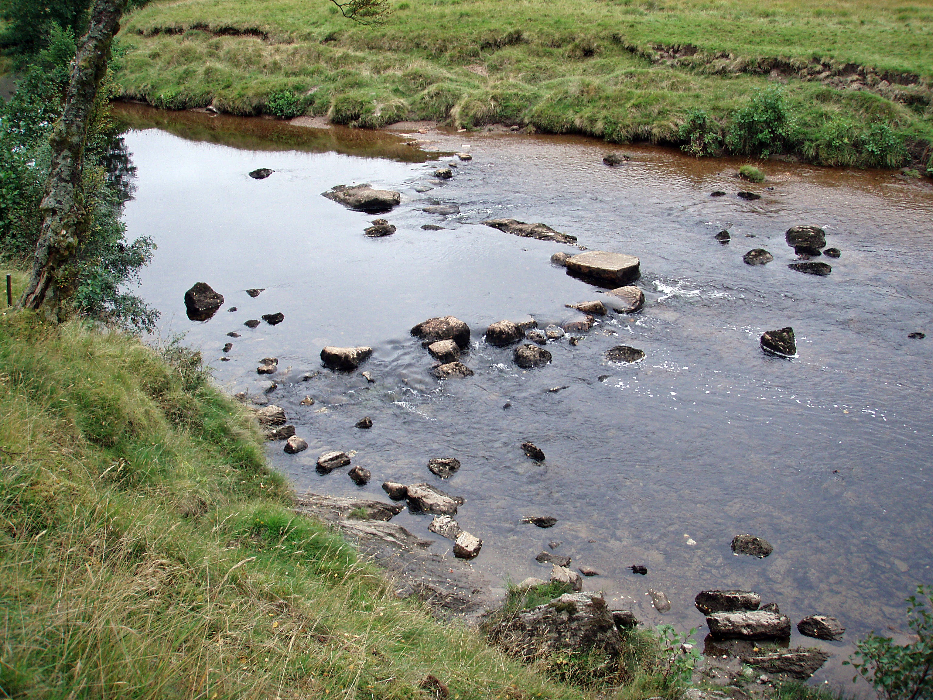
I forded the Abhainn Rath as soon as I could, because I didn’t want to risk a potentially difficult crossing at Lùibeilt later on. But I didn’t need to worry, the river wasn’t in spate and I could have used the stepping stones which were visible above the water level.
I collected some water from the river and stopped for a coffee break in Meanach Bothy.

This time the bothy was deserted, and I remembered my last visit during the TGO Challenge in May, when Dunja, myself and a few fellow challengers were sheltering here from the miserable weather.

On that occasion, I had ruled out camping beside the Abhainn Rath, because the river had been raging and very noisy. Today it was calm and camping would have been fine, but I had other plans. I was hoping to arrive at Corrour in time to have dinner at the station restaurant, but I didn’t know the timetable for the train to Fort William.
I had never been to Staoineag Bothy before, as I had always walked on the N bank of the river and didn’t fancy wading across just to have a look inside. This time the water level was so low that I could walk over the stepping stones with dry feet.
Staoineag Bothy.

Inside Staoineag Bothy.

After I had a good look around, I crossed the river again and continued to Loch Treig.

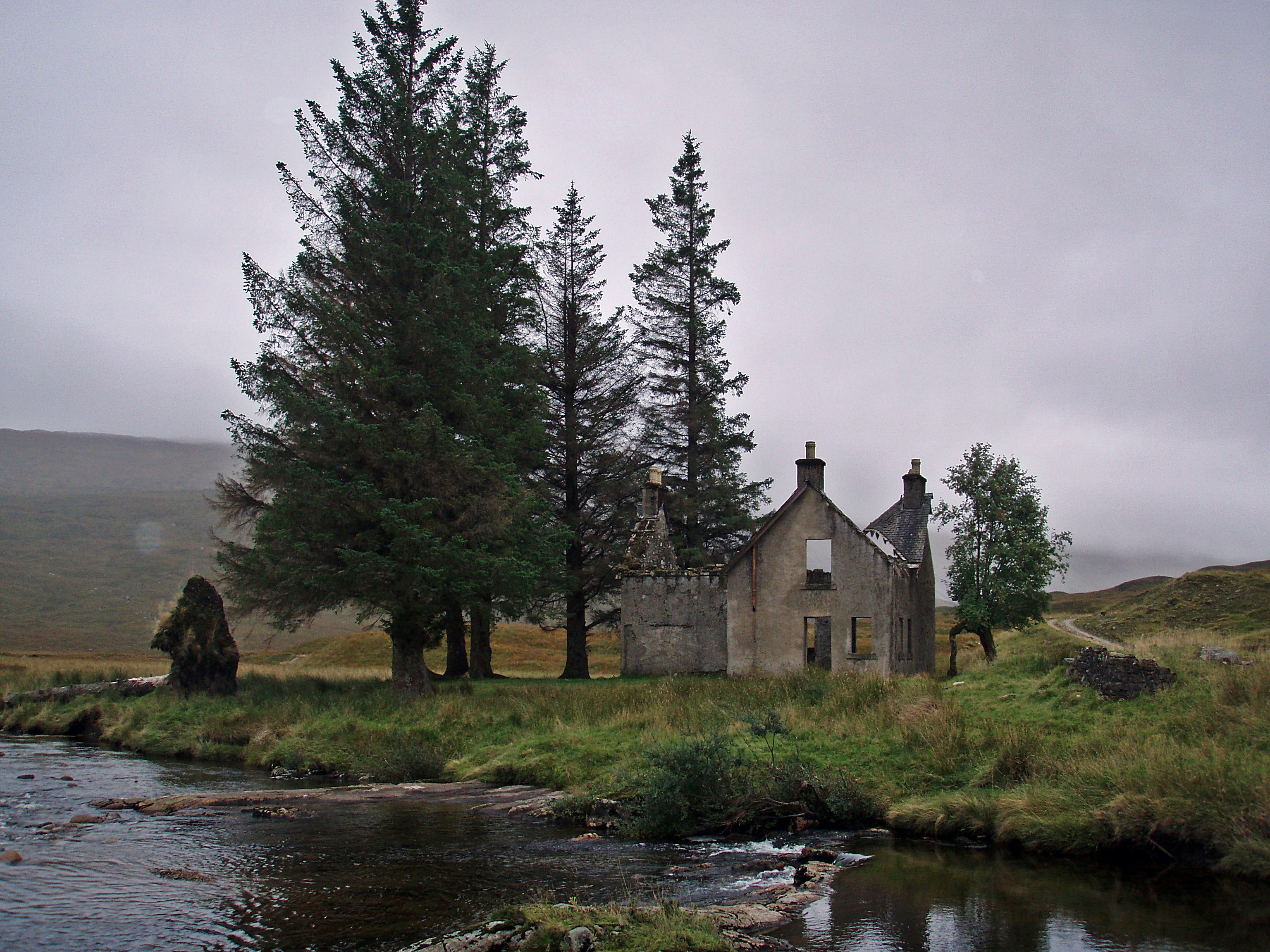
Creaguaineach Lodge.
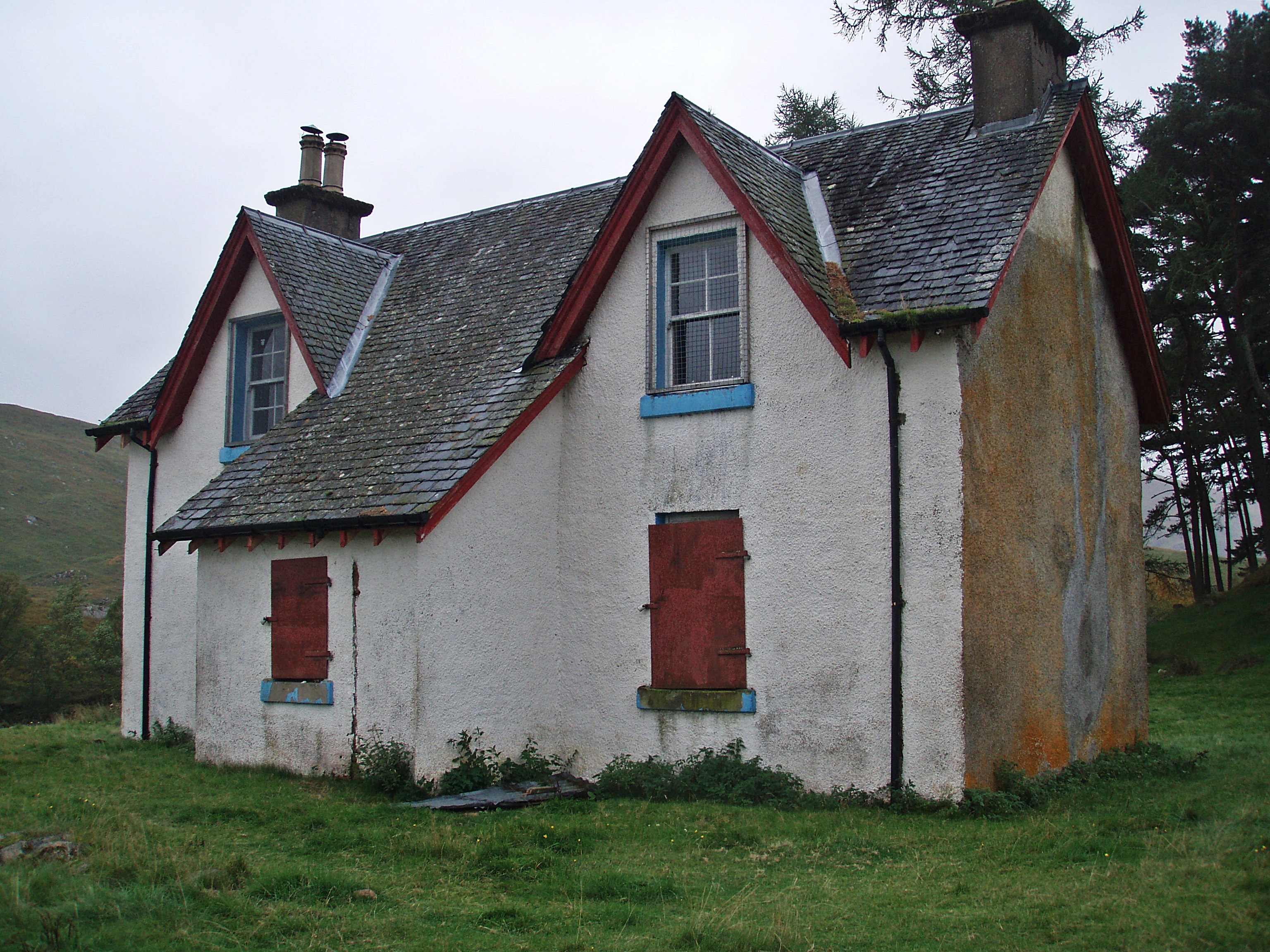
The windows of the deserted building are boarded up, and a sign at the side door warns of “Danger – Unsafe structure – Keep out”, but the door is only secured with this state-of-the-art “lock”…

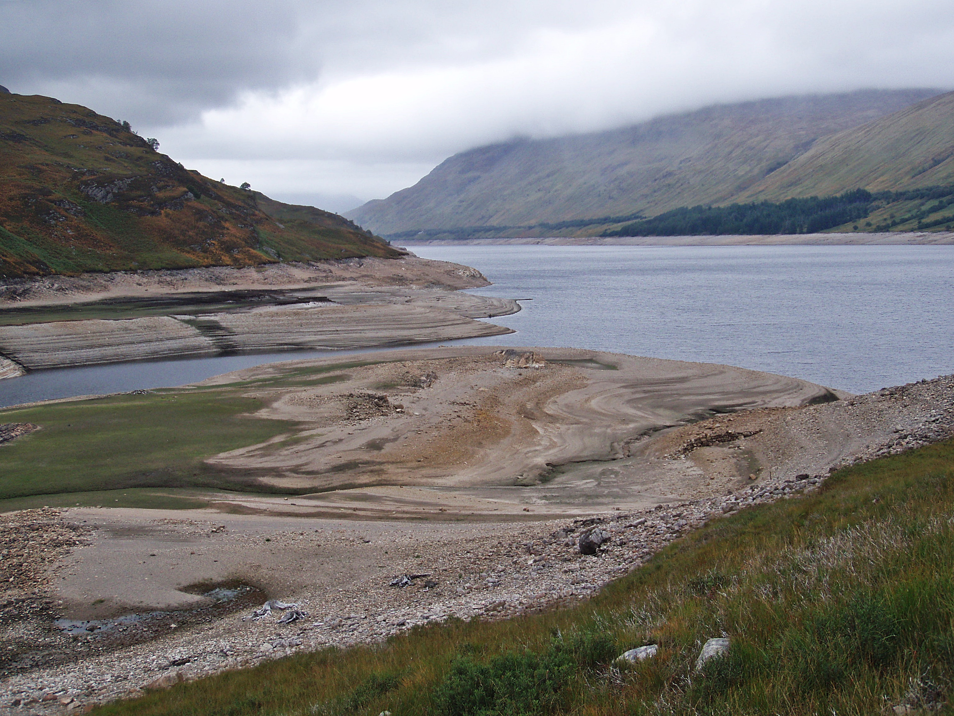
The water level of Loch Treig was the lowest I had seen in a long time.

Creaguaineach Lodge.
Loch Treig.
Gloomy Loch Ossian.

When I arrived at Corrour, I first checked the timetable and found that there was a train to Fort William at 21:17, which left me with plenty of time for a meal at the Corrour Station Restaurant. I had been looking forward to this all day, but my heart sank when I saw a sign at the entrance indicating that evening meals are only available when booked in advance 😦
Through the windows I could see that the restaurant was busy with a large group having some kind of celebration, but I was still hoping I might get something to eat, maybe just a soup. I walked up to the counter and explained my situation to Lizzie, the owner. At first she said no, but I must have looked so desperate that she then went into the kitchen to ask if there was anything I could have.
And I couldn’t believe my luck when she came back and offered me the Chicken Breast with Haggis, which I would have probably ordered even if I could have chosen from the menu as it is one of my favourite meals 🙂 She warned me that it could take a while as serving the large party had priority, but I didn’t mind as long as I would be able to catch my train, and so I settled down happily on the sofa opposite the counter. I didn’t have to wait very long, and the meal was absolutely worth it (I even had a dessert afterwards)!
I think it’s a shame that it isn’t possible anymore to just turn up at the restaurant at any time during the day and have a meal or a drink, like I did a few times in the past (waiting for a train, or just spending the whole afternoon in front of the fireplace when the weather was awful and I was staying at the Youth Hostel). Now it is open to non-residents during the evening only, and advance booking is essential, which is near impossible on a backpacking trip without mobile reception and without knowing the exact time of arrival at the restaurant. But on the other hand, it is understandable, considering the remote location and the limited staff around during the day. I would still absolutely recommend the restaurant, as the meals and the service are exceptional, and Lizzie and Ollie really go out of their way for their guests, as my experience goes to prove 🙂
When I arrived in Fort William well after 22:00, I just couldn’t face the walk back to the Youth Hostel where my car was parked, but there were no taxis waiting outside the train station. Thankfully, one of the ladies who had been in the group at the restaurant and also on the same train, phoned for two taxis and even let me have the first one that arrived. On the long drive home, I had to stop at the car park in Invermoriston and sleep for half an hour, because I couldn’t keep my eyes open anymore. After a detour to Tesco for some food shopping, I finally arrived at home after 02:00.
Although it was disappointing that I had to abandon my walk, the whole trip was worth it just for the first evening alone – the clear views in combination with the cloud inversion were absolutely fantastic and the scenery was easily the best I had seen in a long time. I will definitely return and continue the walk from where I abandoned it, and although it would have been nice to do the whole round in one go, I suppose it’s more realistic to do it in one or two more portions, at least it should be a lot easier to get the right weather for it.
Edit: I eventually managed to complete this walk eleven months later:
Tranter’s Round, Part Two


Nice trip with splendid photo’s (as usual), the complete round is still on my ‘must do’ list.
I always enjoy reading about your adventures. Looking forward to catching up with you on the Challenge somewhere, or perhaps in Montrose!
Might be Montrose – as there are hardly any tea rooms on my route :cool:, it’s unlikely I’ll bump into you and Laura before then (unless you’ll be in Braemar on the Saturday?). Would be great to meet both of you again 🙂
Braemar it is then! See you there.