Day 1
Glen Lyon Horseshoe
Friday 01 June 2012
17.9 km/1279 m/07:00 hrs
Munros: Carn Gorm, Meall Garbh, Carn Mairg, Creag Mhor/Meall na Aighean (Nos. 220 – 223)
After the TGO Challenge was over, I felt I needed a new goal. I decided to concentrate on the Munros from now on, and if I was lucky with the weather, I might be able to complete my first round before the end of this year!
The weather forecast for the Queen’s Diamond Jubilee Weekend was great, and I was going to tackle the Munros in the area between Loch Rannoch and Loch Tay. I expected it to be busy over the weekend, but I was hoping to find a place on a campsite somewhere around Aberfeldy.
But the day didn’t start well – driving down the A9, I saw a message on an electronic information board beside the road, indicating that the A9 was closed after Dalwhinnie due to an accident. I switched the radio on to listen to the traffic news, and apparently there was a local diversion in place for northbound traffic, but drivers heading south had to make a long detour via Fort William. I pulled into a layby and had a look at the map.
The accident had happened around 02:30 near Struan, and I was hoping that by the time I got there, the road might be open again, or that it would be possible to use the minor roads south of Dalnacardoch Lodge to get to Loch Tay. But when I arrived at the turnoff to Dalwhinnie at about 09:00, the A9 was still closed and all traffic was diverted towards the village.
I parked by the side of the road and went to speak to the policeman at the junction, asking if it would be possible to drive a bit further and then use the road to Trinafour/Tummel Bridge. He said no, because Tayside Police who were in charge of that area, had refused this option as these roads were not suitable as a diversion route. I tried my best to persuade him to let me pass (when I explained that I had to get to Loch Tay to do some Munros over the weekend, he suggested I’d do some hills in the Cairngorms instead – very helpful indeed!), but in the end I had to resign to the fact that I had to make a major detour, like several hundreds of other drivers that day. The A9 was only re-opened in the early evening, so it wouldn’t have helped if I had waited for that.
After driving via Dalwhinnie, Spean Bridge, Fort William, Glencoe, Crianlarich and Killin, I arrived in Glen Lyon after 12:00. A bit late for my walk, considering that I still had to find a place to stay that night, but I didn’t have much choice.
I parked in the car park south of the phone box at Invervar, and walked up the forest track on the other side of the road (after a bit of a struggle trying to open the heavy metal gate at the start of the track). After leaving the forest, the path follows the Invervar Burn for a while.
At the end of the forest I left the stream and climbed up the SE ridge of Carn Gorm.
View back into Glen Lyon.
The going was easy on the grassy, dry terrain.
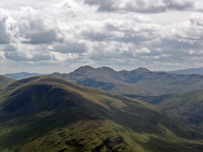
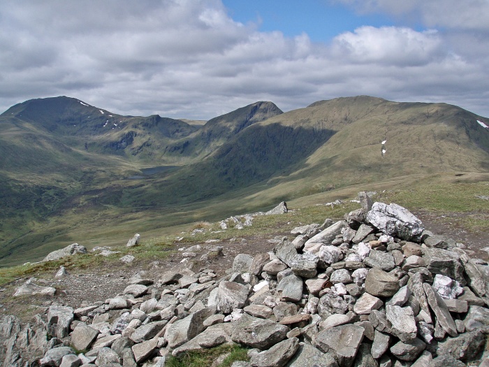
The far end of the horseshoe, Carn Mairg and Meall na Aighean.
Meall nan Tarmachan ridge, zoomed.
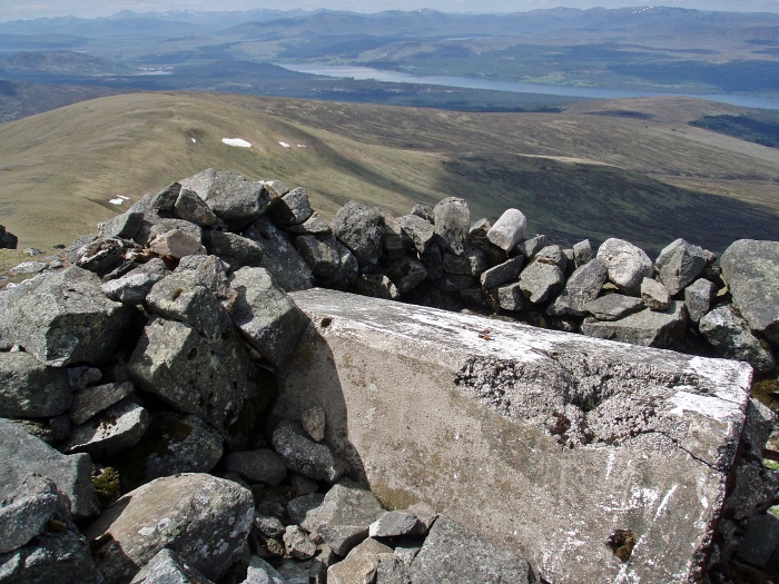
The fallen trig point at the summit of Carn Gorm.
View NW, Loch Rannoch on the right.
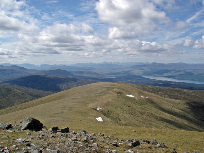
Across Loch Rannoch.
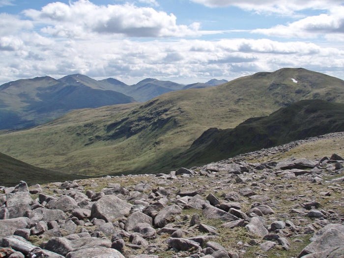
The second Munro, Meall Garbh. The minor top in the middle, An Sgorr, can be by-passed on the left.
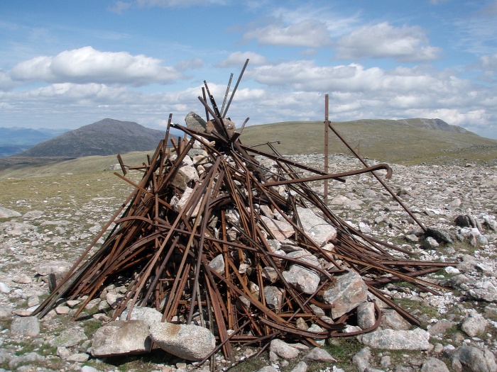
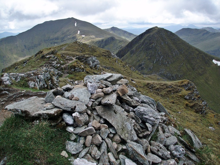
The interesting summit cairn on Meall Garbh.
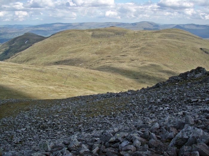
Looking back to Carn Gorm, the Ben Lawers Group in the background.
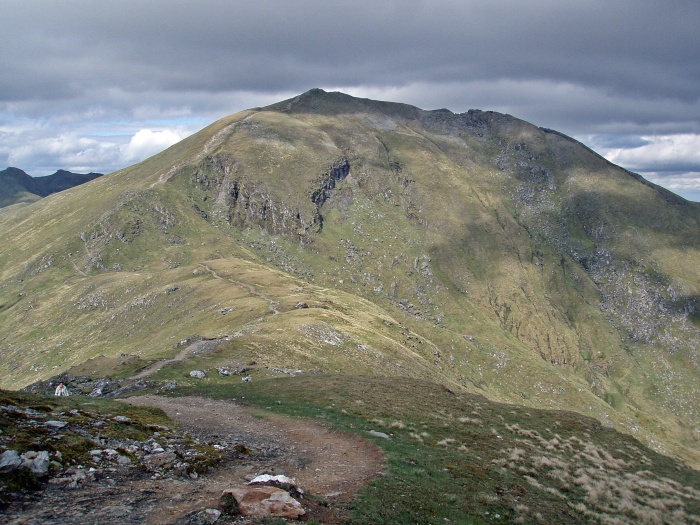
Approaching Carn Mairg.
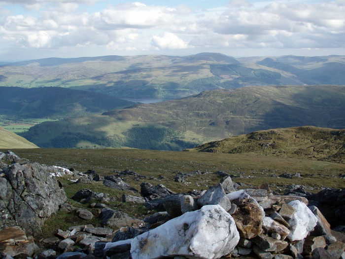
The Ben Lawers Group.
There are several small cairns on the top of Carn Mairg, and as usual I visited them all.
Schiehallion.
To get to the last Munro, I had to negotiate this boulder field first.
It turned out to be so steep that I couldn’t stand upright, but had to lower myself from boulder to boulder.
Looking back, I noticed some large grassy patches further left from my descent route, it would have probably been a lot easier to come down that way.
Carn Mairg.
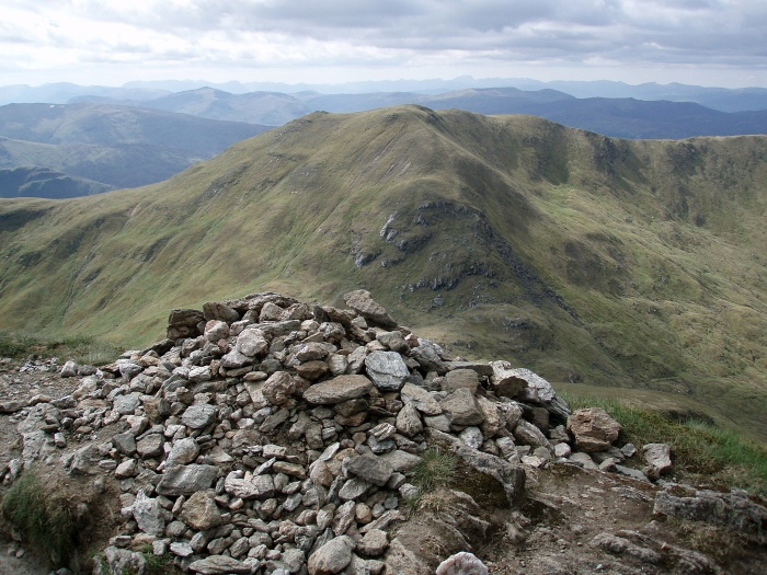
Meall na Aighean summit.
From Meall na Aighean, I contoured around the 974 m top and followed the W ridge, where I soon came across a good path leading down. Although the descent route was at an easy angle, suddenly both of my knees started to hurt quite badly. I can only assume this was caused by the awkward moves on the steep boulder field earlier in the day.
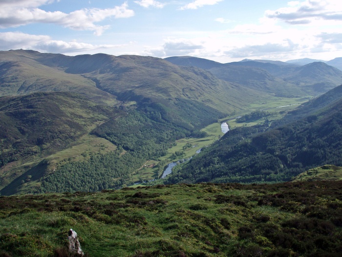
Glen Lyon.
Allt Coire a’ Chearcaill.
On the last part of the descent, I became slower and slower, trying to take the weight off my knees, but eventually I managed to get back down to the road.
It was well after 19:00 when I arrived back at the car. Driving along Loch Tay in the morning, I had passed several campsites that were fully booked or didn’t accept tents at all, now I was hoping that I could find a place for the night at the Aberfeldy campsite.
My heart sank when I saw “NO tent pitches available” on the big sign at the entrance – but at this time of night I was getting a bit desperate and just drove in anyway. The reception was already closed, and there was a list with names and pre-booked pitches hanging in the window.
I asked some of the other campers if they knew of another campsite nearby, and they suggested I should just ignore the sign, pitch my tent somewhere and pay in the morning. And that’s what I did, there were many spaces available after all. I wrote down the numbers of the reserved pitches and found one that was not booked, and pitched my tent. The friendly couple had given me the code for the shower block, and I was just hoping that I wouldn’t be sent away the next morning, because I was planning to stay another night.
Day 2
Ben Lawers Round
Saturday 02 June 2012
16.3 km/1506 m/08:00 hrs
Munros: Meall Greigh, Meall Garbh, An Stùc, Ben Lawers, Beinn Ghlas (Nos. 224 – 228)
In the morning I went to reception as soon as they opened, to pay for last night and for another night, if possible. The warden was very friendly and didn’t mind me staying the previous night, although there had been “no spaces available”, according to the sign at the entrance. Unfortunately my pitch was already booked for the following night, by a large group who wanted several pitches beside each other.
The warden’s assistant offered to help me to move my tent, and so we carried the tent with all its contents to another pitch nearby 🙂 After all this was sorted, I could finally get on my way to the hills.
The Ben Lawers Hotel offers free parking for walkers as long as they come in for a drink or a meal. I was planning to have a bar meal there in the evening, so I left my car there, hoping for a lift from the former visitor centre’s car park at the other end of my walk.
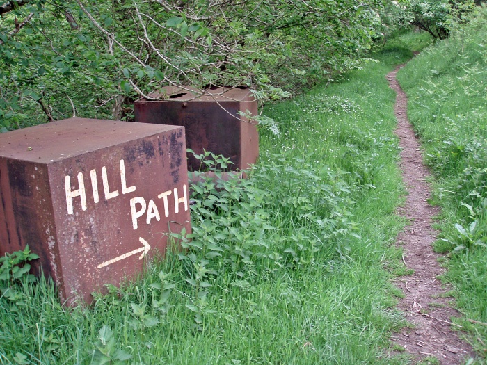
After walking along the road for about 500 metres, I followed the Lawers Burn upstream. The start of the walk is very well signposted!
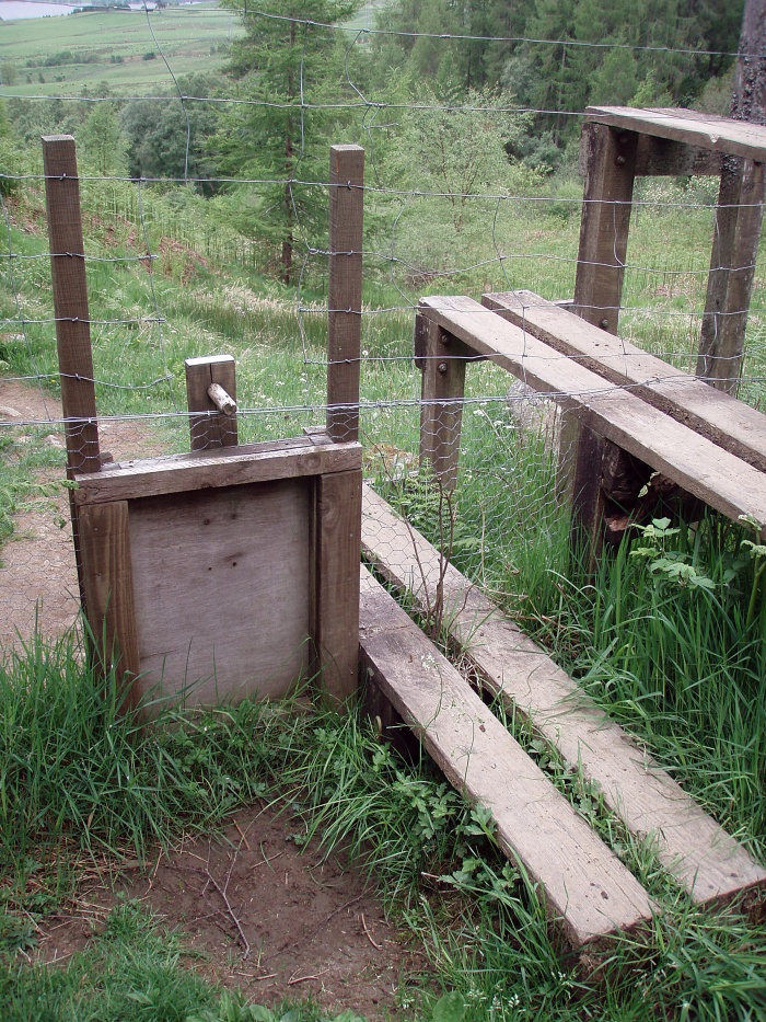
And the stile at the deer fence has even got a dog flap.
Soon the path leaves the forest and the first Munro, Meall Greigh, comes into sight.
Lawers Burn.
By the foot bridge across the Lawers Burn I left the path and climbed up the steep embankment. At first, I followed one of the contributing streams, and then the line of crags W of Sròn Mhòr.
The views across to Ben Lawers and An Stùc were impressive.
But the view down to Loch Tay wasn’t bad either!
Meall Greigh summit.
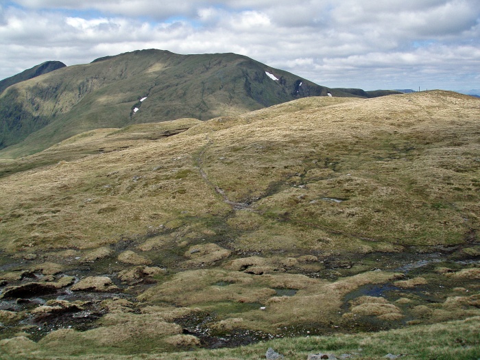
The route ahead leads across a boggy bealach, but the path avoids the worst of it.
The path up Meall Garbh follows a line of fence posts.
Looking over Meall a’ Choire Lèith.
The summit cairn of Meall Garbh, with Ben Lawers and An Stùc behind.
The ascent of An Stùc is supposed to be the most difficult section of this round, that’s why I did it in an anti-clockwise direction. This way I could scramble up the steepest part and use the easy S ridge for the descent.
From the distance there is a clear path visible, zigzagging up a bit left of centre. It does get quite steep towards the top, and the scrambling is not on solid rock, but on loose, sandy/muddy ground. In wet weather this might be a bit slippery (especially in descent), but in dry conditions it is not difficult at all.
An Stùc summit.
The descent is along easy grassy slopes, with views to the crags of Creag an Fhithich ahead.
Creag an Fhithich.
Looking back to An Stùc.
Lochan nan Cat.
Approaching Ben Lawers’ summit.
I even managed to have the summit to myself for a couple of minutes, before another walker arrived from the other side.
We had a nice chat, but then several small groups of walkers arrived and I made my down towards Beinn Ghlas. I had heard that Ben Lawers was a popular hill, but I didn’t expect that… it almost felt like being on Ben Nevis!
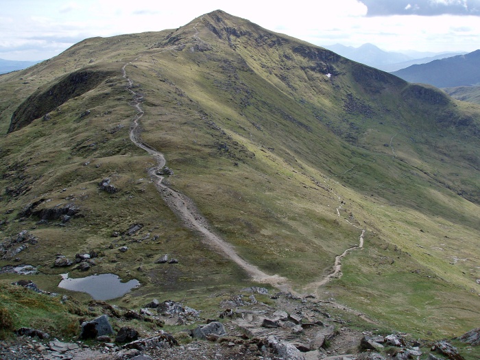
The path to Beinn Ghlas is badly eroded.
Meall Corranaich.
Near the summit of Beinn Ghlas.
Looking back, I saw dark clouds forming over Ben Lawers.
Beinn Ghlas summit, with Meall Corranaich in the background.
Descent route from Beinn Ghlas.
The clouds looked really threatening by now…
… but after a while they dispersed, and for the rest of the descent I walked in sunshine again.
Looking back to Beinn Ghlas.
In the distance I could see the car park where the former visitor centre used to be. It still looked busy, and I expected it to be easy to get a lift from there. But when I positioned myself at the exit of the car park and asked every driver who was leaving if they were going in the Kenmore direction, it turned out they were all going to Killin which was the wrong direction for me.
After almost half an hour I was lucky – a group of five (!) hillwalkers were heading back to the Ben Lawers Hotel, and they kindly offered to give me a lift. So four of us squeezed in the back seat (it was very cosy!) and in almost no time I was back at my car. After freshening up a bit and getting changed into clean clothes, I had a very nice bar meal at the hotel, and later returned to Aberfeldy for another night at the campsite.
Day 3
Schiehallion
Sunday 03 June 2012
9.8 km/721 m/04:00 hrs
Munro: Schiehallion (No. 229)
On my way home I was going to bag another hill that was conveniently situated, and shouldn’t take me too long: Schiehallion is not far from the road and has a well-built path for most of the way.
Good path.
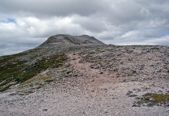
Higher up, the path disappears into a boulderfield.
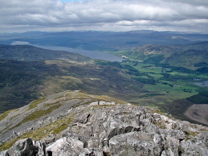
Loch Tummel in the distance.
After 2.5 hours I reached the summit, having stopped and chatted to quite a few other walkers on the way up. I was surprised how popular this hill was, there were even more people around than on Ben Lawers and Beinn Ghlas the day before, although the weather wasn’t quite as nice today.
View NW to Loch Rannoch.
Dunalastair Reservoir.
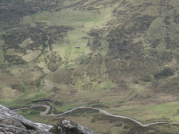
While I was having my lunch break by the summit, I noticed a bothy on the opposite hillside. At home, I did some research and found that it has been closed due to vandalism.
Glenmore Bothy.
View SE from the summit.
On the way back, it started to drizzle, not much, but enough to make the boulders slippery and to slow me down a bit.
But the rain soon stopped, and it was a pleasant walk back down to the car park. This had been a very successful weekend with warm and sunny weather for most of the time, and ten new Munros bagged 🙂


